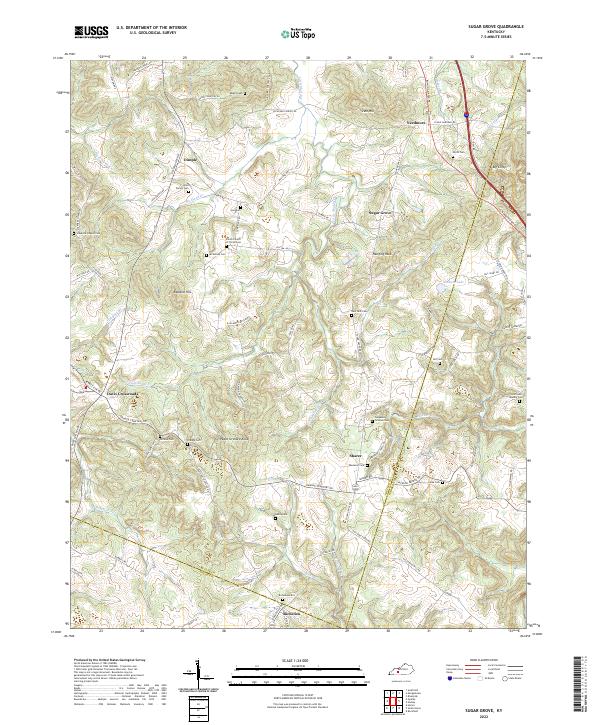
2022 Map of Sugar Grove
USGS Topo · Published 2022About this map
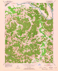
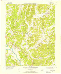
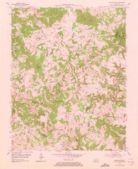
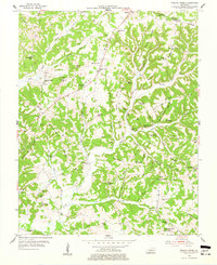
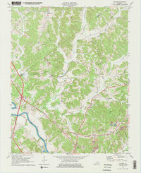
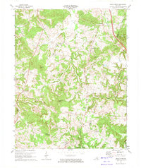
Little Muddy Cr and its various tributaries, including Belcher Cr and Moxey Cr, carve a complex drainage pattern through this section of Butler County. The landscape is dotted with small agricultural settlements and crossroads such as Dimple, Sharer, and Richelieu. These communities are often anchored by family burial grounds and country churches, reflecting a deeply rooted local history. Notable landmarks like Hanging Rock and Peach Orchard Knob rise above the stream valleys, while the numerous small cemeteries, such as the Hood Family Cem and Mc Kinney Cem, offer significant detail for genealogical research.
Find a feature on this map
90 named features on this map. Tap any name to fly to it.
Don’t see what you’re looking for? This feature index may not catch every label — zoom into the map to look around manually.
Map Details
Editions of this 2022 Sugar Grove Map
This is the sole edition of this map. No revisions or reprints were ever made.
Historical Maps of Davis Crossroads Through Time
18 maps found
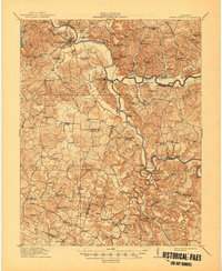
1914 Little Muddy
Butler County, KY
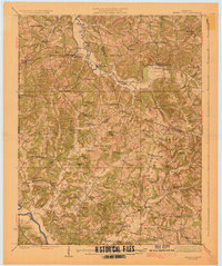
1925 Spring Lick
Butler County, KY
1953 Quality
Butler County, KY
1953 South Hill
Butler County, KY
1954 Flener
Butler County, KY
1954 Reedyville
Butler County, KY
1954 Riverside
Butler County, KY
1954 Sugar Grove
Butler County, KY
1954 Welchs Creek
Butler County, KY
1973 Flener
Butler County, KY
1973 Sugar Grove
Butler County, KY
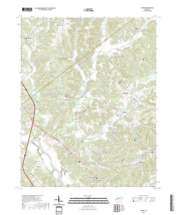
2022 Flener
Butler County, KY
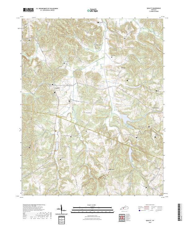
2022 Quality
Butler County, KY
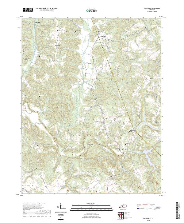
2022 Reedyville
Butler County, KY
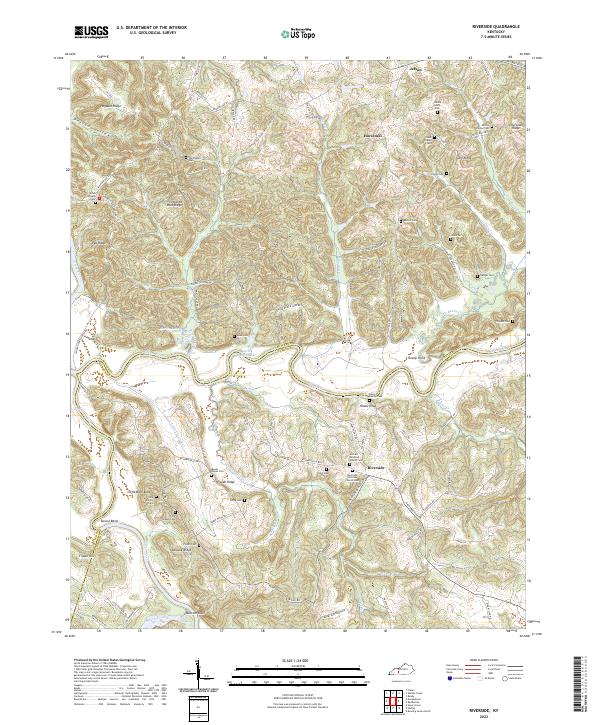
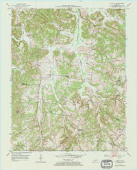
2022 Riverside
Butler County, KY
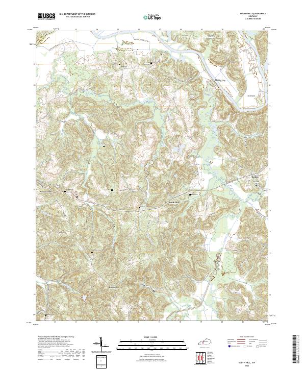
2022 South Hill
Butler County, KY
2022 Sugar Grove
Butler County, KY
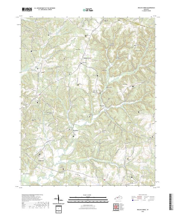
2022 Welchs Creek
Butler County, KY