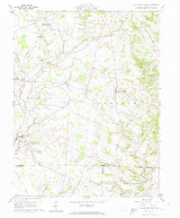
1961 Map of Sugar Tree Ridge
USGS Topo · Published 1962About this map
The rolling agricultural landscape of southern Highland County is defined here by the drainage of White Oak Creek and its tributaries, including Sugar Run and the East Fork. In the early 1960s, this area remained largely rural, centered on established crossroads like Sugar Tree Ridge and Taylorsville. Small family and community burial grounds, such as Van Winkle Cem and Rogers Cem, are scattered across the townships of Hamer, New Market, and White Oak.
Find a feature on this map
53 named features on this map. Tap any name to fly to it.
Don’t see what you’re looking for? This feature index may not catch every label — zoom into the map to look around manually.
Map Details
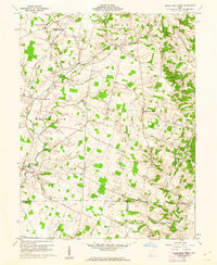
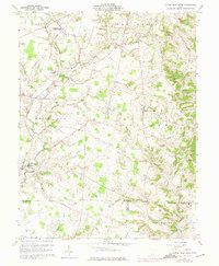
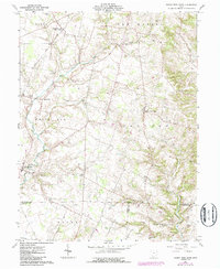
Editions of this 1961 Sugar Tree Ridge Map
4 editions found
Other maps of this area

1917 · Hillsboro
USGS Topo · 1:62,500

1917 · Sardinia
USGS Topo · 1:62,500

1918 · Seaman
USGS Topo · 1:62,500

1928 · Higginsport
USGS Topo · 1:48,000

1931 · Higginsport
USGS Topo · 1:62,500

1944 · Hillsboro
USGS Topo · 1:62,500

1944 · Sardinia
USGS Topo · 1:62,500

1947 · Columbus
USGS Topo · 1:250,000

1957 · Huntington
USGS Topo · 1:250,000

1960 · Huntington
USGS Topo · 1:250,000