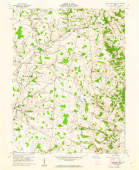
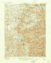
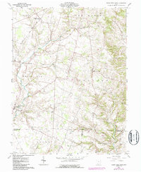
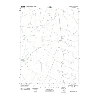
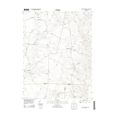
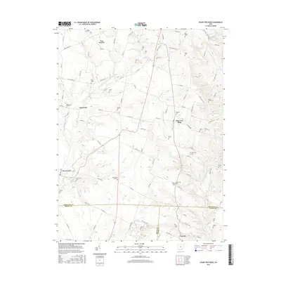
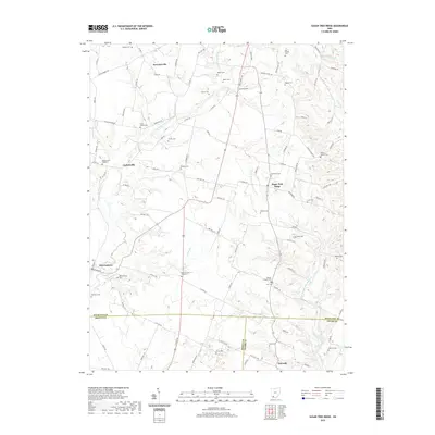
1961 Map of Sugar Tree Ridge
USGS Topo · Published 1974About this map
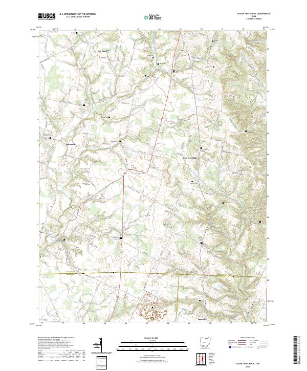
White Oak Creek and its many branches, including the East Fork White Oak Creek and Sugar Creek, define the landscape across this rural Ohio borderland. The topography reveals a density of family cemeteries and local landmarks, highlighting the deep genealogical roots of townships like Hamer and Concord. In the northwest corner, the Norfolk and Western railway corridor passes through East Danville (Winkle PO), while further south, the village of Mowrystown serves as a small hub. A mid-century culture is evident in the presence of a Drive-in Theater along the highway, contrasted by traditional community centers like Union Chapel and Miller Chapel. The convergence of Highland, Brown, and Adams counties reflects a complex survey of historical boundaries and small settlements such as Sugar Tree Ridge and Emerald.
Find a feature on this map
51 named features on this map. Tap any name to fly to it.
Don’t see what you’re looking for? This feature index may not catch every label — zoom into the map to look around manually.
Map Details
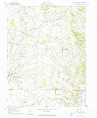
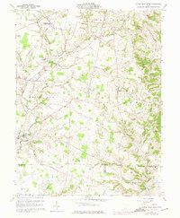
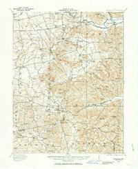
Editions of this 1961 Sugar Tree Ridge Map
4 editions found
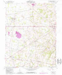
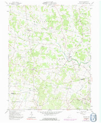
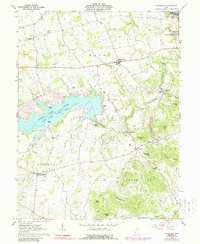
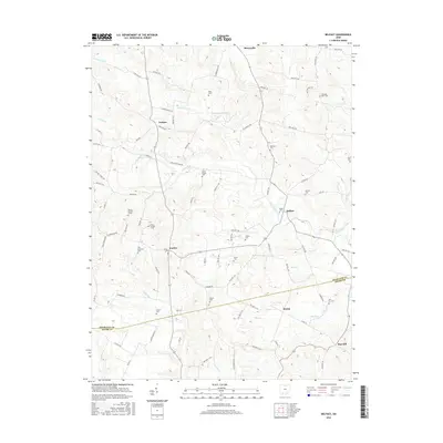
Historical Maps of Mowrystown Through Time
26 maps found
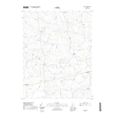
1915 Bainbridge
Highland County, OH
1917 Bainbridge
Highland County, OH
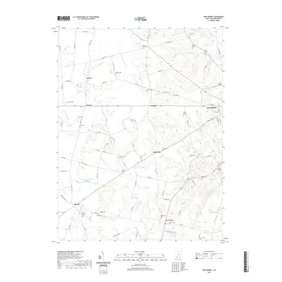
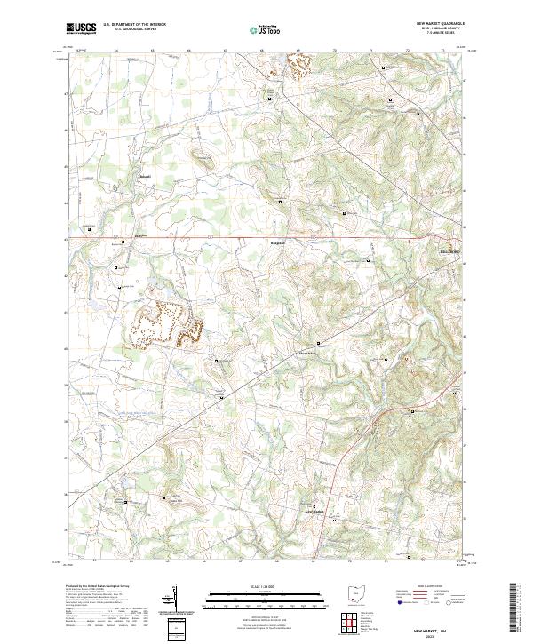
1960 New Market
Highland County, OH
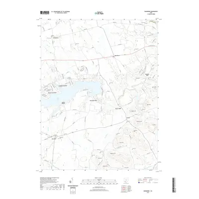
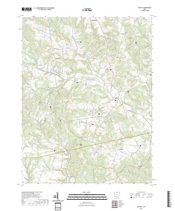
1961 Belfast
Highland County, OH
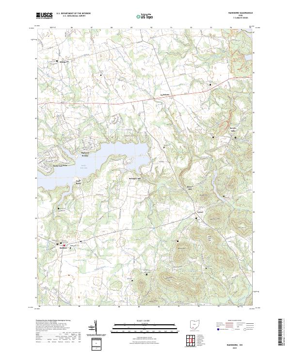
1961 Rainsboro
Highland County, OH
1961 Sugar Tree Ridge
Highland County, OH
2010 Belfast
Highland County, OH
2010 New Market
Highland County, OH
2010 Rainsboro
Highland County, OH
2010 Sugar Tree Ridge
Highland County, OH
2013 Belfast
Highland County, OH
2013 New Market
Highland County, OH
2013 Rainsboro
Highland County, OH
2013 Sugar Tree Ridge
Highland County, OH
2016 Belfast
Highland County, OH
2016 New Market
Highland County, OH
2016 Rainsboro
Highland County, OH
2016 Sugar Tree Ridge
Highland County, OH
2019 Belfast
Highland County, OH
2019 New Market
Highland County, OH
2019 Rainsboro
Highland County, OH
2019 Sugar Tree Ridge
Highland County, OH
2023 Belfast
Highland County, OH
2023 New Market
Highland County, OH
2023 Rainsboro
Highland County, OH
2023 Sugar Tree Ridge
Highland County, OH