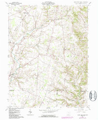
1961 Map of Sugar Tree Ridge
USGS Topo · Published 1987About this map
Sugar Tree Ridge sits as the central high ground in this Highland County landscape, where the headwaters of the East Fork White Oak Creek and Sugar Creek diverge. The map documents a rural agricultural network at the transition from the 1950s into the early 1960s, punctuated by the Norfolk and Western railroad line passing through Mowrystown and East Danville. This region is particularly dense with small family and community burial grounds, such as the Van Winkle Cem, Gibler Cem, and Carrier Cem, offering a detailed spatial record for genealogical research. The presence of the Landing Strip near the center of the sheet reflects the evolving infrastructure of the mid-century, while established landmarks like Union Chapel and the Wesley Chapel Cems anchor the long-standing rural community centers of White Oak and Concord townships.
Find a feature on this map
55 named features on this map. Tap any name to fly to it.
Don’t see what you’re looking for? This feature index may not catch every label — zoom into the map to look around manually.
Map Details
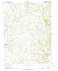
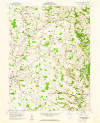
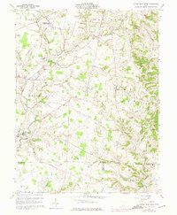
Editions of this 1961 Sugar Tree Ridge Map
4 editions found
Other maps of this area

1917 · Hillsboro
USGS Topo · 1:62,500

1917 · Sardinia
USGS Topo · 1:62,500

1918 · Seaman
USGS Topo · 1:62,500

1928 · Higginsport
USGS Topo · 1:48,000

1931 · Higginsport
USGS Topo · 1:62,500

1944 · Hillsboro
USGS Topo · 1:62,500

1944 · Sardinia
USGS Topo · 1:62,500

1947 · Columbus
USGS Topo · 1:250,000

1957 · Huntington
USGS Topo · 1:250,000

1960 · Huntington
USGS Topo · 1:250,000