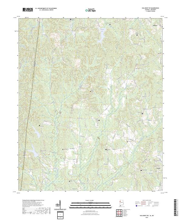
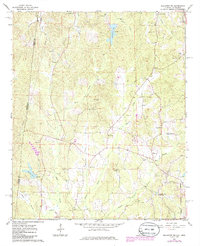
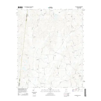
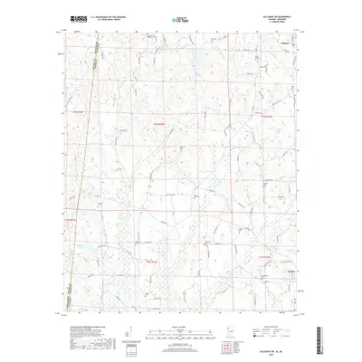
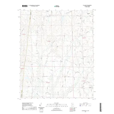
2024 Map of Sulligent SW
USGS Topo · Published 2024About this map
The Mississippi Alabama state line cuts through this section of Lamar Co, where the headwaters of the Tombigbee River basin define the local topography. This 2024 landscape is heavily marked by small community anchors and family-named landmarks. Numerous burial grounds such as Rising Star Cem, Pleasant Ridge Cem, and Shiloh Cem are scattered across the terrain, serving as vital points of reference for genealogists tracking local families.
Find a feature on this map
103 named features on this map. Tap any name to fly to it.
Don’t see what you’re looking for? This feature index may not catch every label — zoom into the map to look around manually.
Map Details
Editions of this 2024 Sulligent SW Map
This is the sole edition of this map. No revisions or reprints were ever made.
Historical Maps of Vernon Through Time
24 maps found
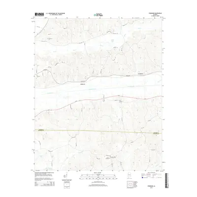
1967 Fernbank
Lamar County, AL
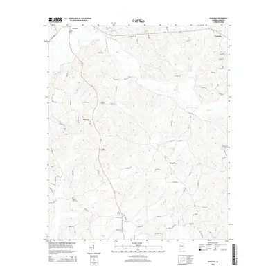
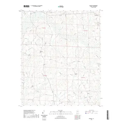
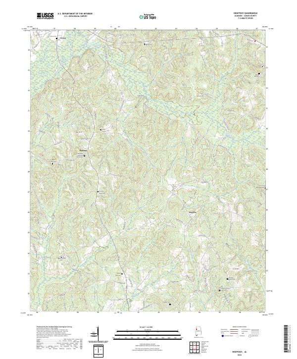
1967 Hightogy
Lamar County, AL
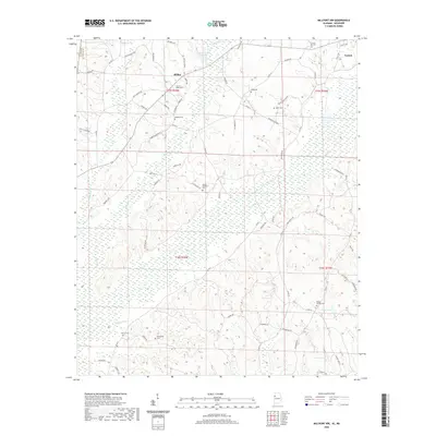
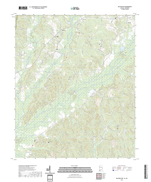
1967 Millport NW
Lamar County, AL
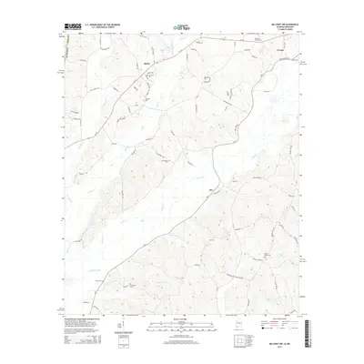
1967 Sulligent SW
Lamar County, AL
2011 Fernbank
Lamar County, AL
2011 Hightogy
Lamar County, AL
2011 Millport NW
Lamar County, AL
2011 Sulligent SW
Lamar County, AL
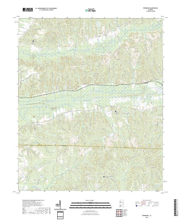
2014 Fernbank
Lamar County, AL
2014 Hightogy
Lamar County, AL
2014 Millport NW
Lamar County, AL
2014 Sulligent SW
Lamar County, AL
2018 Fernbank
Lamar County, AL
2018 Hightogy
Lamar County, AL
2018 Millport NW
Lamar County, AL
2018 Sulligent SW
Lamar County, AL
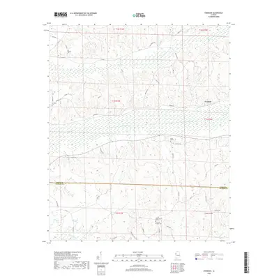
2020 Fernbank
Lamar County, AL
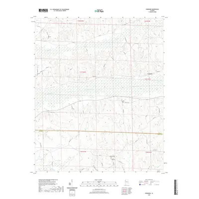
2020 Hightogy
Lamar County, AL
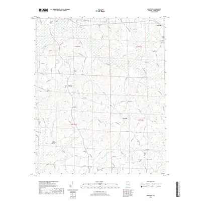
2020 Millport NW
Lamar County, AL
2020 Sulligent SW
Lamar County, AL
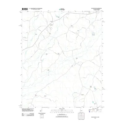
2024 Fernbank
Lamar County, AL
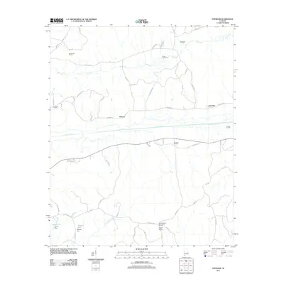
2024 Hightogy
Lamar County, AL
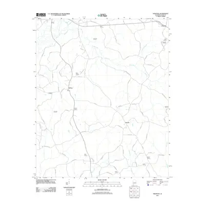
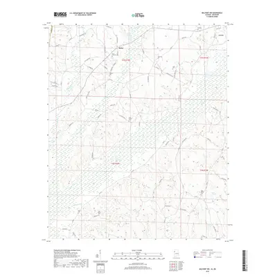
2024 Millport NW
Lamar County, AL
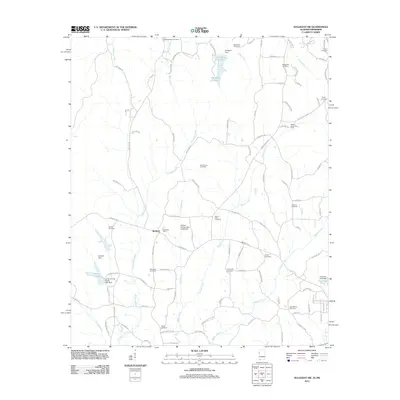
2024 Sulligent SW
Lamar County, AL