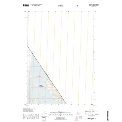
2018 Map of Sumdum B-2 NE
USGS Topo · Published 2018About this map
The international boundary between Canada and the United States of America cuts a sharp diagonal across this high-altitude landscape. This segment of the border separates the wilderness of British Columbia from the southeastern panhandle of Alaska. The southwestern portion of the sheet is dominated by the Tongass National Forest, showing a terrain defined by significant elevation changes. These contours illustrate the steep glacial valleys and peaks characteristic of the Coast Mountains. While no roads or buildings are present, the map provides precise locations for legal survey lines, including t51s r80e, t51s r81e, and t52s r81e, which are essential for navigating this remote corner of the continent.
Find a feature on this map
5 named features on this map. Tap any name to fly to it.
Don’t see what you’re looking for? This feature index may not catch every label — zoom into the map to look around manually.
Map Details
Editions of this 2018 Sumdum B-2 NE Map
This is the sole edition of this map. No revisions or reprints were ever made.
Other maps of this area

1952 · Sumdum
USGS Topo · 1:250,000

1961 · Sumdum B-2
USGS Topo · 1:63,360
1961 · Sumdum C-2
USGS Topo · 1:63,360

1961 · Sumdum
USGS Topo · 1:250,000

2000 · Sumdum B-2
USGS Topo · 1:63,360
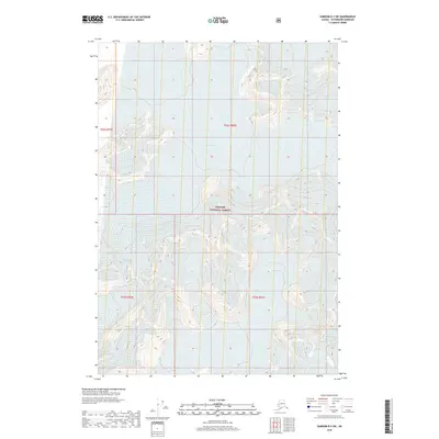
2018 · Sumdum B-2 SW
USGS Topo · 1:25,000
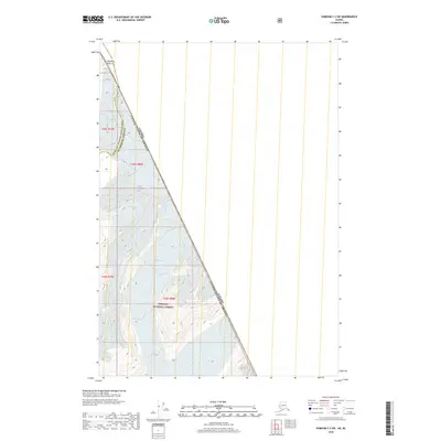
2018 · Sumdum C-2 SW
USGS Topo · 1:25,000
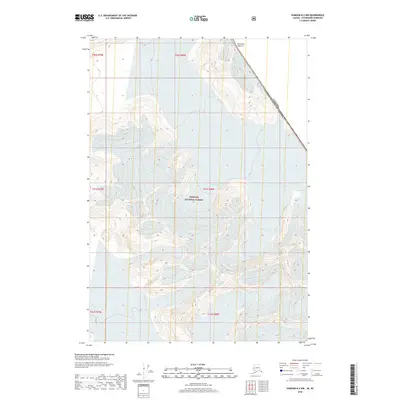
2018 · Sumdum B-2 NW
USGS Topo · 1:25,000
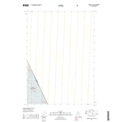
2018 · Sumdum B-2 OE E SW
USGS Topo · 1:25,000
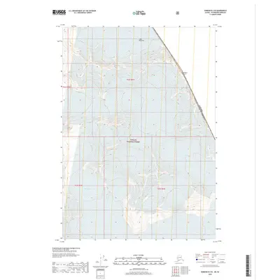
2018 · Sumdum B-2 SE
USGS Topo · 1:25,000