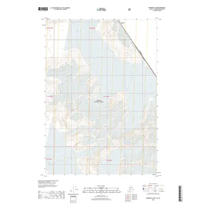
2018 Map of Sumdum B-2 NW
USGS Topo · Published 2018About this map
Dawes Glacier dominates this high-altitude landscape along the international boundary between the United States and Canada. This 2018 survey reveals the steep vertical relief of the Coast Mountains, where icy tongues and massive ice fields carve through the Tongass National Forest. The map captures the remote wilderness of the Petersburg Borough, where the terrain is marked by prominent elevations like Boundary Peak 74, which sits directly on the border line. Unlike lower-elevation coastal regions, this area is defined by its lack of human infrastructure, focusing instead on the dramatic natural interface of glacier and peak in the southeastern Alaskan interior.
Find a feature on this map
10 named features on this map. Tap any name to fly to it.
Don’t see what you’re looking for? This feature index may not catch every label — zoom into the map to look around manually.
Map Details
Editions of this 2018 Sumdum B-2 NW Map
This is the sole edition of this map. No revisions or reprints were ever made.
Other maps of this area

1952 · Sumdum
USGS Topo · 1:250,000

1961 · Sumdum C-3
USGS Topo · 1:63,360

1961 · Sumdum B-2
USGS Topo · 1:63,360
1961 · Sumdum C-2
USGS Topo · 1:63,360

1961 · Sumdum B-3
USGS Topo · 1:63,360

1961 · Sumdum
USGS Topo · 1:250,000

1996 · Sumdum B-3
USGS Topo · 1:63,360

2000 · Sumdum C-3
USGS Topo · 1:63,360

2000 · Sumdum B-2
USGS Topo · 1:63,360
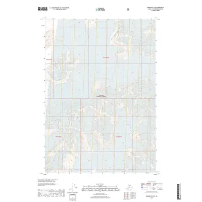
2018 · Sumdum B-2 SW
USGS Topo · 1:25,000