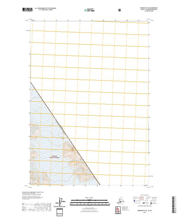
2021 Map of Sumdum B-2 NE
USGS Topo · Published 2021About this map
The international border between the Canada United States of America defines the central axis of this landscape, carving a sharp diagonal through the wilderness of Southeast Alaska. This boundary line separates the interior highlands of British Columbia from the coastal regions of the Tongass National Forest, illustrating the remote and geopolitical character of the Pacific Northwest. The map provides a look at the Public Land Survey System grid as it meets the jagged international line, including sections within t51s r80e, t51s r81e, and t52s r81e. This cartographic record of the Petersburg Borough region highlights the intersection of national administrative boundaries and the natural topography of the Alaska-Canada frontier.
Find a feature on this map
5 named features on this map. Tap any name to fly to it.
Don’t see what you’re looking for? This feature index may not catch every label — zoom into the map to look around manually.
Map Details
Editions of this 2021 Sumdum B-2 NE Map
This is the sole edition of this map. No revisions or reprints were ever made.
Other maps of this area

1952 · Sumdum
USGS Topo · 1:250,000

1961 · Sumdum B-2
USGS Topo · 1:63,360
1961 · Sumdum C-2
USGS Topo · 1:63,360

1961 · Sumdum
USGS Topo · 1:250,000

2000 · Sumdum B-2
USGS Topo · 1:63,360
2018 · Sumdum B-2 SW
USGS Topo · 1:25,000
2018 · Sumdum C-2 SW
USGS Topo · 1:25,000
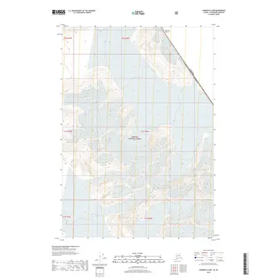
2018 · Sumdum B-2 NW
USGS Topo · 1:25,000
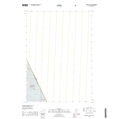
2018 · Sumdum B-2 OE E SW
USGS Topo · 1:25,000
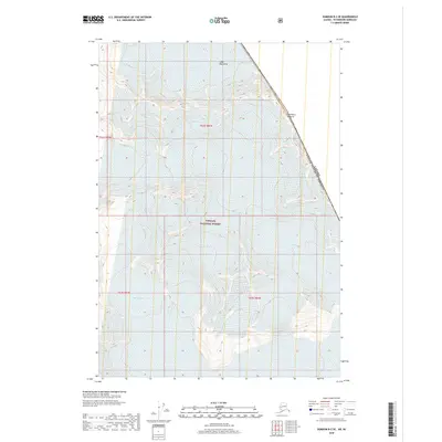
2018 · Sumdum B-2 SE
USGS Topo · 1:25,000