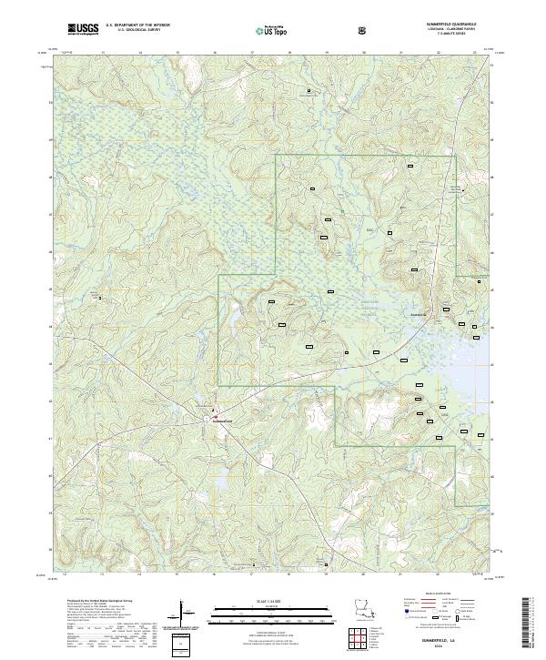
2024 Map of Summerfield
USGS Topo · Published 2024About this map
The settlement of Summerfield and its adjacent Summerfield Cemetery anchor this portion of northern Louisiana. The landscape is heavily defined by the winding paths of Corney Bayou and Little Corney Creek, which drain the timberlands of the Kisatchie National Forest. A dense network of parish roads, such as Horseshoe Rd and Beauty Shop Rd, connects several long-standing community centers. The map reveals a pattern of rural life centered on family and faith, with numerous burial grounds like New Home Baptist Cem and Mount Olive Cem dispersed across the hills. To the east, the area near Scottsville transitions into a more structured forest management zone, with forestry roads like Forest Rd 904 crisscrossing the creeks. The presence of Fellowship Memorial Garden Cem and Mount Hebron Cem highlights the genealogical value of this terrain for those tracing Claiborne Parish roots.
Find a feature on this map
61 named features on this map. Tap any name to fly to it.
Don’t see what you’re looking for? This feature index may not catch every label — zoom into the map to look around manually.
Map Details
Editions of this 2024 Summerfield Map
This is the sole edition of this map. No revisions or reprints were ever made.
Other maps of this area

1927 · El Dorado
USGS Topo · 1:62,500

1930 · El Dorado
USGS Topo · 1:62,500

1951 · Summerfield
USGS Topo · 1:62,500

1951 · Bernice
USGS Topo · 1:62,500

1951 · El Dorado
USGS Topo · 1:62,500

1953 · El Dorado
USGS Topo · 1:250,000

1955 · Shreveport
USGS Topo · 1:250,000

1956 · Shreveport
USGS Topo · 1:250,000

1957 · El Dorado
USGS Topo · 1:250,000

1958 · El Dorado
USGS Topo · 1:250,000