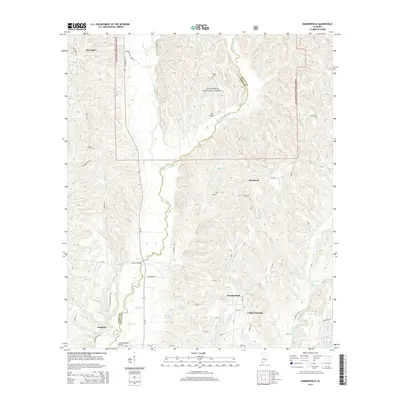
2014 Map of Summerfield
USGS Topo · Published 2014About this map
Oakmulgee Creek and its tributary, Little Oakmulgee Cr, carve a winding path through the central landscape of this Alabama survey. This terrain is characterized by the intersection of the Talladega National Forest and the historical communities of Summerfield and Valley Grande. The road network, including State Rte 219 and Al-219, connects smaller settlements such as Perryville, Stonewall, and Augustin.
Find a feature on this map
62 named features on this map. Tap any name to fly to it.
Don’t see what you’re looking for? This feature index may not catch every label — zoom into the map to look around manually.
Map Details
Editions of this 2014 Summerfield Map
This is the sole edition of this map. No revisions or reprints were ever made.
Other maps of this area

1891 · Clanton
USGS Topo · 1:125,000

1953 · Montgomery
USGS Topo · 1:250,000

1956 · Montgomery
USGS Topo · 1:250,000

1957 · Montgomery
USGS Topo · 1:250,000

1957 · Benton
USGS Topo · 1:62,500

1958 · Selma
USGS Topo · 1:62,500

1958 · Selma
USGS Topo · 1:24,000

1959 · Plantersville
USGS Topo · 1:62,500

1959 · Summerfield
USGS Topo · 1:62,500

1975 · Selma NW
USGS Topo · 1:24,000