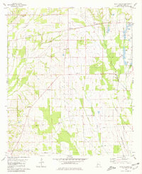
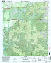
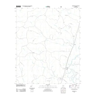
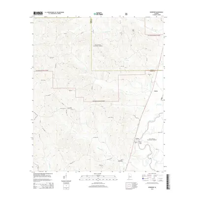
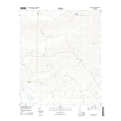
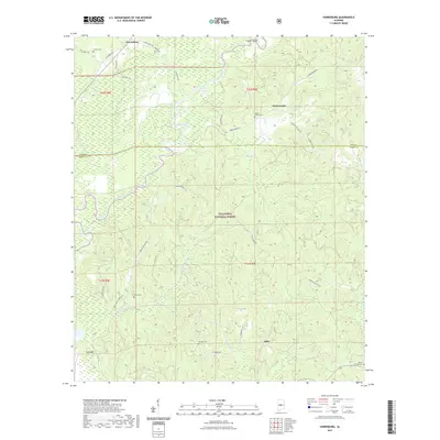
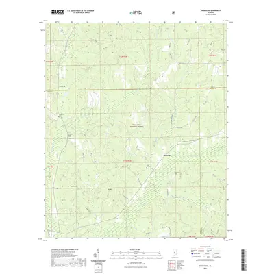
1959 Map of Summerfield
USGS Topo · Published 1973About this map
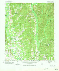
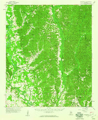
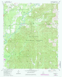
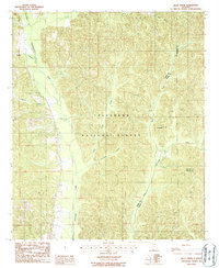
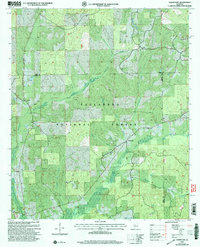
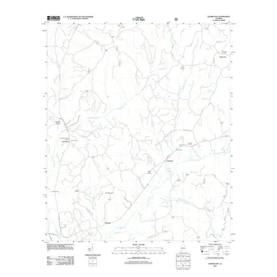
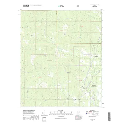
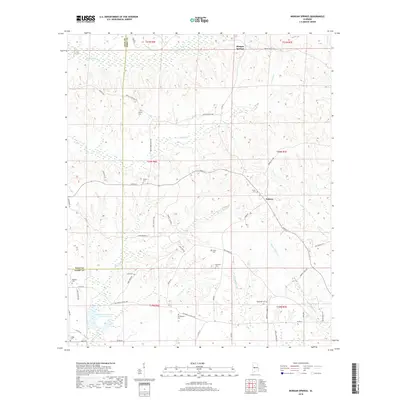
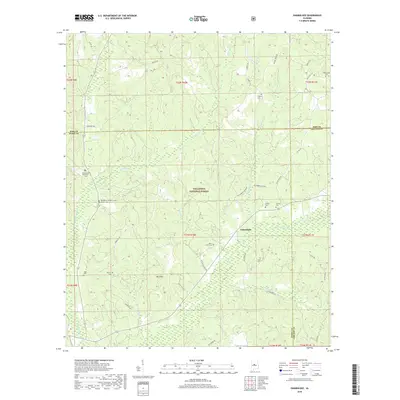
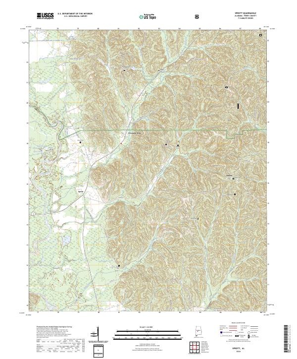
The Cahaba River winds through the western reaches of this landscape, defining a terrain of floodplains and tributary creeks just before the turn of the 1960s. The settlement at Sprott and the crossroads of Cleveland Mills serve as local anchors, while the eastern portion of the sheet is dominated by the dense woodlands of the Talladega National Forest. Numerous small country congregations and burial grounds, such as New Hope Ch and Bethany Cem, are scattered across the ridges, providing a clear map of rural community life in this part of Perry and Dallas Counties. The presence of the Dallas Lookout Tower and the Microwave Tower near the Chilton County line illustrates the infrastructure of the era. To the south, Summerfield and Suttle mark established residential clusters connected by a network of unimproved and light-duty roads through the Oakmulgee Creek valley.
Find a feature on this map
79 named features on this map. Tap any name to fly to it.
Don’t see what you’re looking for? This feature index may not catch every label — zoom into the map to look around manually.
Map Details
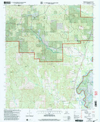
Editions of this 1959 Summerfield Map
2 editions found
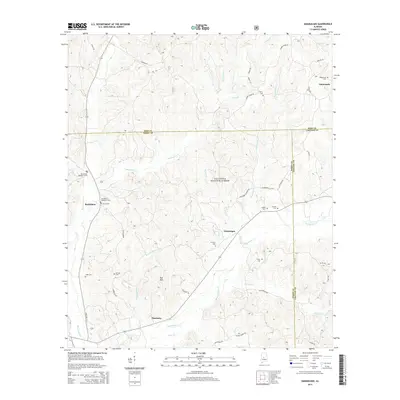
Historical Maps of Valley Grande Through Time
81 maps found
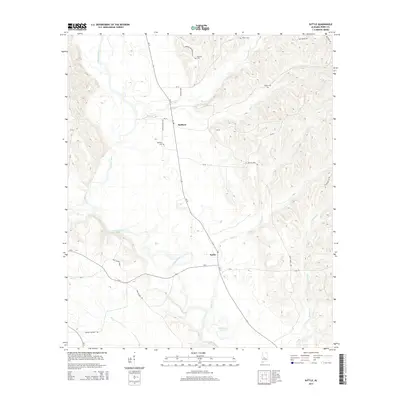
1959 Summerfield
Perry County, AL
1968 Uniontown East
Perry County, AL
1975 Summerfield SW
Perry County, AL
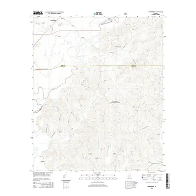
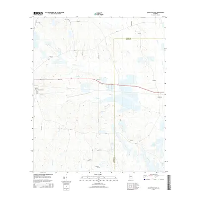
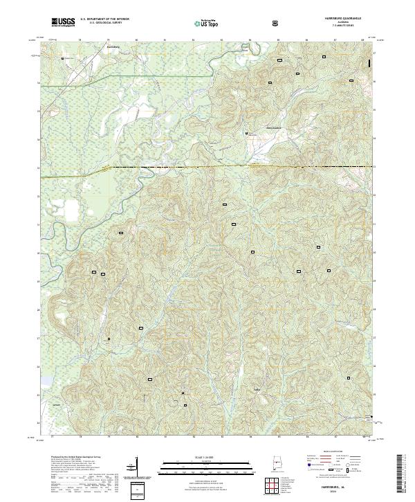
1979 Harrisburg
Perry County, AL
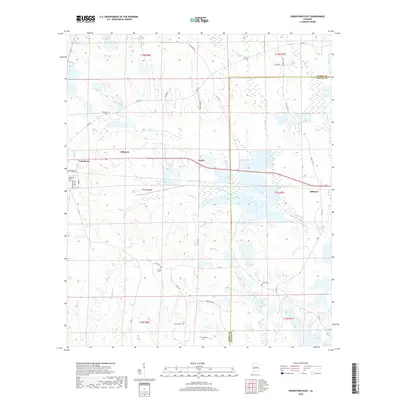
1979 Marion North
Perry County, AL
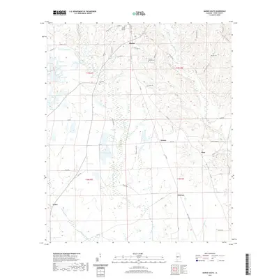
1979 Marion South
Perry County, AL
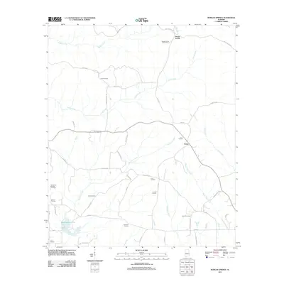
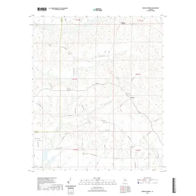
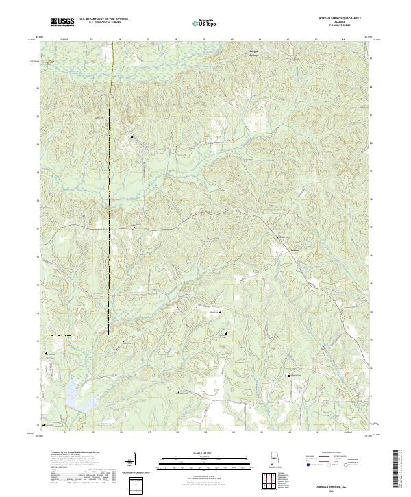
1979 Morgan Springs
Perry County, AL
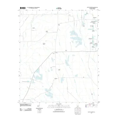
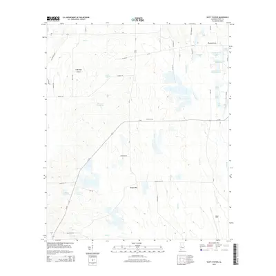
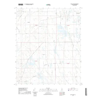
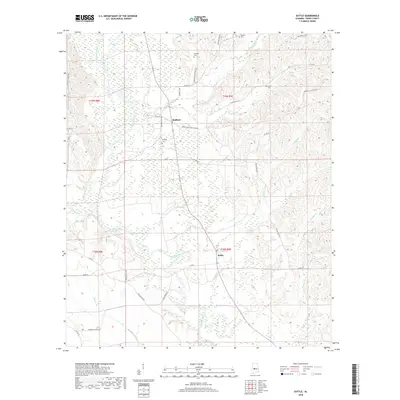
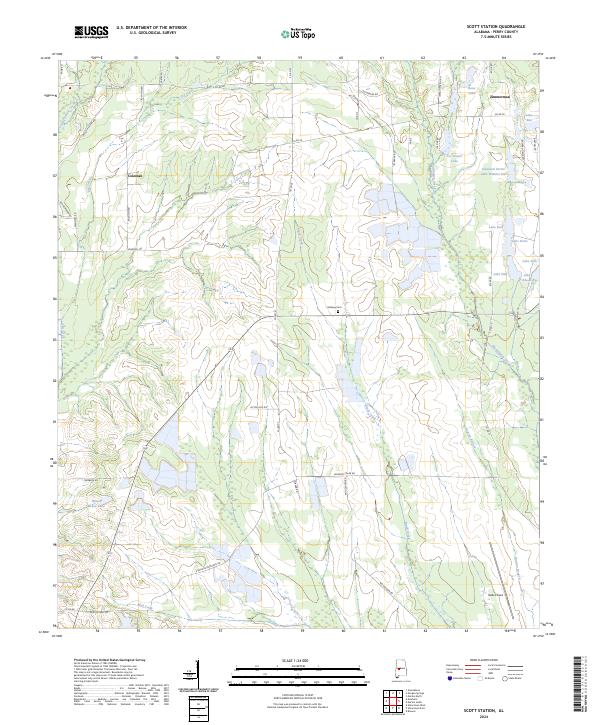
1979 Scott Station
Perry County, AL
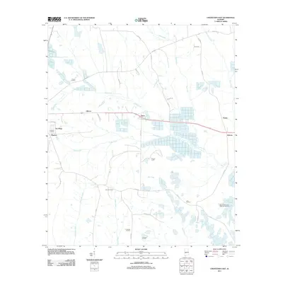
1980 Heiberger
Perry County, AL
1980 Hogglesville
Perry County, AL
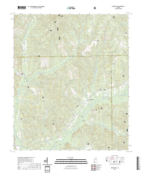
1980 Oakmulgee
Perry County, AL
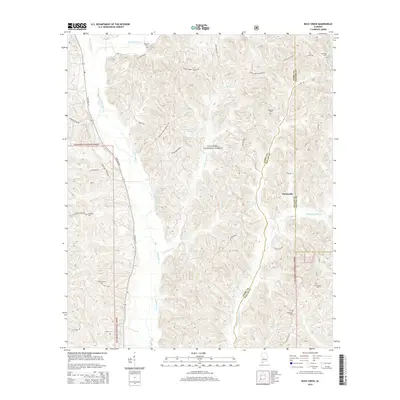
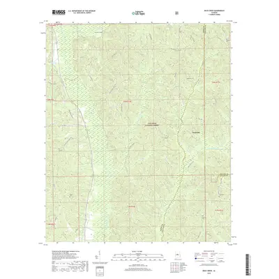
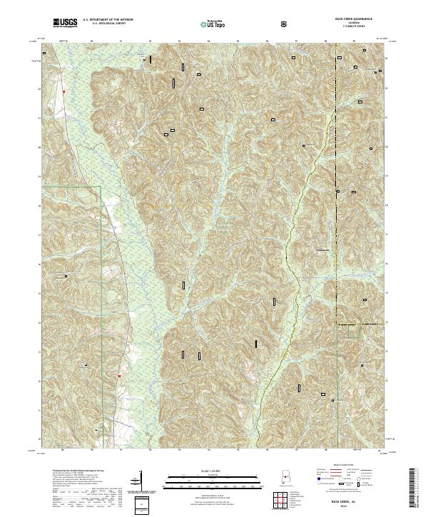
1987 Buck Creek
Perry County, AL
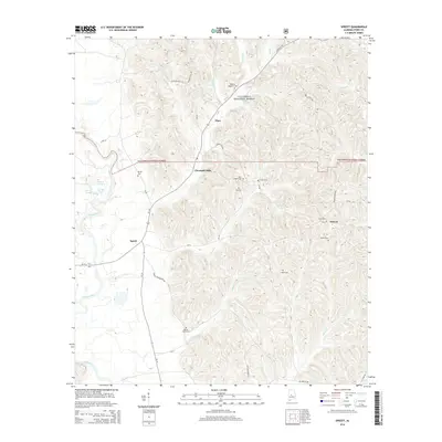
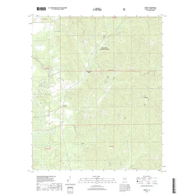
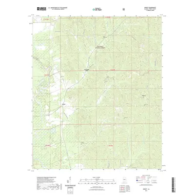
1987 Sprott
Perry County, AL
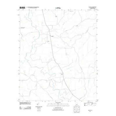
1987 Suttle
Perry County, AL
2002 Buck Creek
Perry County, AL
2002 Harrisburg
Perry County, AL
2002 Heiberger
Perry County, AL
2002 Hogglesville
Perry County, AL
2002 Marion North
Perry County, AL
2002 Oakmulgee
Perry County, AL
2002 Sprott
Perry County, AL
2011 Buck Creek
Perry County, AL
2011 Harrisburg
Perry County, AL
2011 Heiberger
Perry County, AL
2011 Hogglesville
Perry County, AL
2011 Marion North
Perry County, AL
2011 Marion South
Perry County, AL
2011 Morgan Springs
Perry County, AL
2011 Oakmulgee
Perry County, AL
2011 Scott Station
Perry County, AL
2011 Sprott
Perry County, AL
2011 Suttle
Perry County, AL
2011 Uniontown East
Perry County, AL
2014 Buck Creek
Perry County, AL
2014 Harrisburg
Perry County, AL
2014 Heiberger
Perry County, AL
2014 Hogglesville
Perry County, AL
2014 Marion North
Perry County, AL
2014 Marion South
Perry County, AL
2014 Morgan Springs
Perry County, AL
2014 Oakmulgee
Perry County, AL
2014 Scott Station
Perry County, AL
2014 Sprott
Perry County, AL
2014 Suttle
Perry County, AL
2014 Uniontown East
Perry County, AL
2018 Buck Creek
Perry County, AL
2018 Harrisburg
Perry County, AL
2018 Heiberger
Perry County, AL
2018 Hogglesville
Perry County, AL
2018 Marion North
Perry County, AL
2018 Marion South
Perry County, AL
2018 Morgan Springs
Perry County, AL
2018 Oakmulgee
Perry County, AL
2018 Scott Station
Perry County, AL
2018 Sprott
Perry County, AL
2018 Suttle
Perry County, AL
2018 Uniontown East
Perry County, AL
2020 Marion South
Perry County, AL
2020 Morgan Springs
Perry County, AL
2020 Scott Station
Perry County, AL
2020 Suttle
Perry County, AL
2020 Uniontown East
Perry County, AL
2021 Buck Creek
Perry County, AL
2021 Harrisburg
Perry County, AL
2021 Heiberger
Perry County, AL
2021 Hogglesville
Perry County, AL
2021 Marion North
Perry County, AL
2021 Oakmulgee
Perry County, AL
2021 Sprott
Perry County, AL
2024 Buck Creek
Perry County, AL
2024 Harrisburg
Perry County, AL
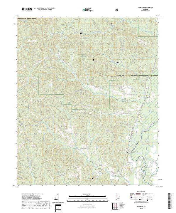
2024 Heiberger
Perry County, AL
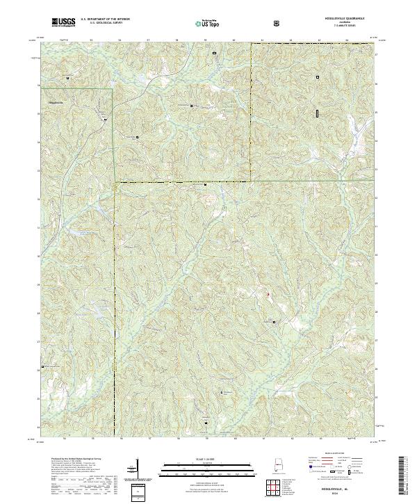
2024 Hogglesville
Perry County, AL
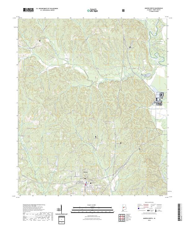
2024 Marion North
Perry County, AL
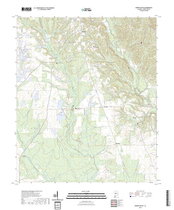
2024 Marion South
Perry County, AL
2024 Morgan Springs
Perry County, AL
2024 Oakmulgee
Perry County, AL
2024 Scott Station
Perry County, AL
2024 Sprott
Perry County, AL
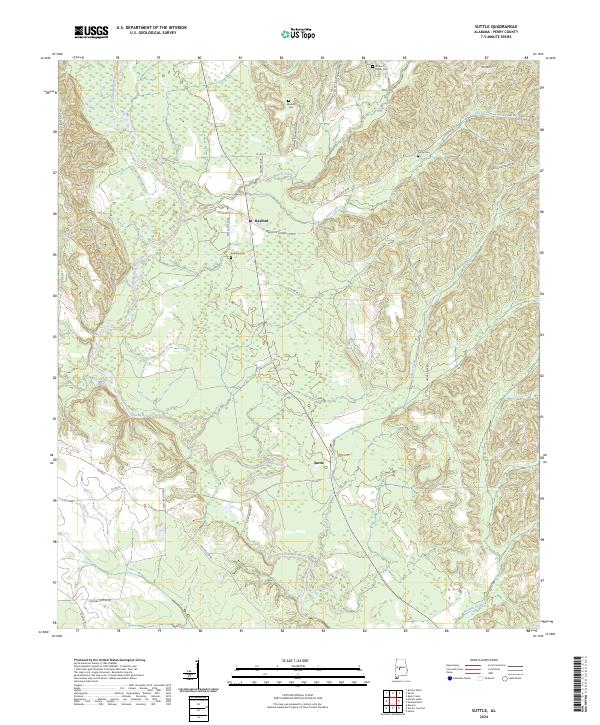
2024 Suttle
Perry County, AL
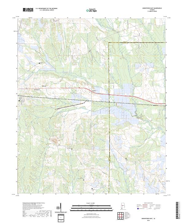
2024 Uniontown East
Perry County, AL