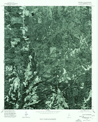
1975 Map of Summerfield SE
USGS Topo · Published 1977About this map
This 1975 orthophotoquad reveals the dense forest and agricultural patchwork of rural Dallas County shortly before its publication in 1977. Prepared from high-altitude aerial photography, the map highlights the winding route of State Route 219 as it cuts through the landscape, serving as a primary corridor for this timber-rich region. The contrast between cleared farmland and heavy wooded tracts illustrates the area's mid-70s land use, where small-scale clearings for homesteads or crops break up the otherwise uniform forest cover. This specific type of survey provides a photographic rather than purely topographic record, capturing the exact state of vegetation and rural development at the time of the December flyover.
Find a feature on this map
1 named feature on this map. Tap any name to fly to it.
Don’t see what you’re looking for? This feature index may not catch every label — zoom into the map to look around manually.
Map Details
Editions of this 1975 Summerfield SE Map
This is the sole edition of this map. No revisions or reprints were ever made.
Other maps of this area

1891 · Clanton
USGS Topo · 1:125,000

1953 · Montgomery
USGS Topo · 1:250,000

1956 · Montgomery
USGS Topo · 1:250,000

1957 · Montgomery
USGS Topo · 1:250,000

1957 · Benton
USGS Topo · 1:62,500

1958 · Selma
USGS Topo · 1:62,500

1958 · Selma
USGS Topo · 1:24,000

1959 · Plantersville
USGS Topo · 1:62,500

1959 · Summerfield
USGS Topo · 1:62,500

1975 · Selma NW
USGS Topo · 1:24,000