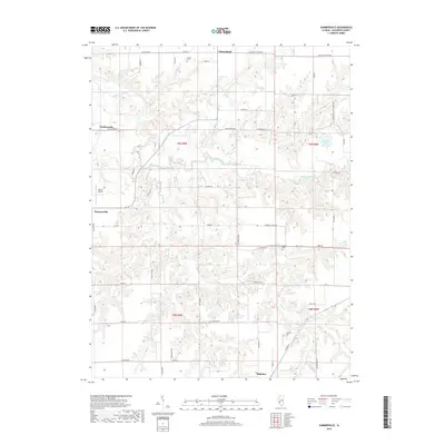
2018 Map of Summerville
USGS Topo · Published 2018About this map
Macoupin Creek meanders through this portion of Macoupin County, defining the drainage patterns for a landscape dotted with small agricultural settlements and rural infrastructure. The map documents the northern edge of Shipman and the community of Chesterfield, connected by a network of local roads such as Challacombe Rd and Macoupin Station Rd. For those researching local family history, the survey identifies several small burial grounds, including Gelder Cem and Armour Cem, which are situated among the farm fields and timbered creek bottoms. The presence of Nixon Airport near Summerville and named water bodies like Bullard Lake and Howens Lake provides a clear view of the area's modern land use, where longstanding rural townships like t9n r9w meet localized aviation and water management features.
Find a feature on this map
53 named features on this map. Tap any name to fly to it.
Don’t see what you’re looking for? This feature index may not catch every label — zoom into the map to look around manually.
Map Details
Editions of this 2018 Summerville Map
This is the sole edition of this map. No revisions or reprints were ever made.
Other maps of this area

1912 · Gillespie
USGS Topo · 1:62,500

1915 · Gillespie
USGS Topo · 1:62,500

1923 · Carlinville
USGS Topo · 1:48,000

1925 · Carlinville
USGS Topo · 1:62,500

1925 · Brighton
USGS Topo · 1:62,500

1928 · Brighton
USGS Topo · 1:62,500

1931 · Carlinville
USGS Topo · 1:62,500

1932 · Greenfield
USGS Topo · 1:62,500

1948 · Quincy
USGS Topo · 1:250,000

1956 · Quincy
USGS Topo · 1:250,000