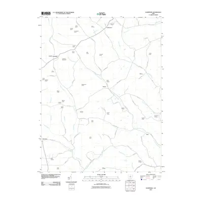
2010 Map of Summithill
USGS Topo · Published 2010About this map
Summithill and the surrounding township terrain in Pike County are defined by a dense network of knobs and ridges that dictate the path of local commerce and travel. The Summithill Post Office sits as a central landmark, while the Atomic Speedway serves as a modern gathering point along the Blain Hwy. The landscape is etched with the courses of Pee Pee Creek and Left Fork Crooked Creek, which carve through the high ground of Potato Ridge and Prussia Ridge.
Find a feature on this map
86 named features on this map. Tap any name to fly to it.
Don’t see what you’re looking for? This feature index may not catch every label — zoom into the map to look around manually.
Map Details
Editions of this 2010 Summithill Map
This is the sole edition of this map. No revisions or reprints were ever made.
Other maps of this area

1906 · Waverly
USGS Topo · 1:62,500

1906 · Chillicothe
USGS Topo · 1:62,500

1908 · Chillicothe
USGS Topo · 1:62,500

1908 · Waverly
USGS Topo · 1:62,500

1912 · Roxabell
USGS Topo · 1:62,500

1914 · Roxabell
USGS Topo · 1:62,500

1915 · Piketon
USGS Topo · 1:62,500

1917 · Piketon
USGS Topo · 1:62,500

1944 · Piketon
USGS Topo · 1:62,500

1944 · Roxabell
USGS Topo · 1:62,500