
1907 Map of Sun Prairie
USGS Topo · Published 1907About this map
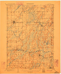
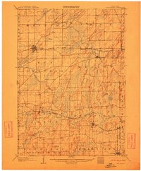
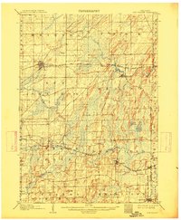
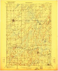
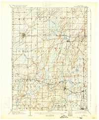
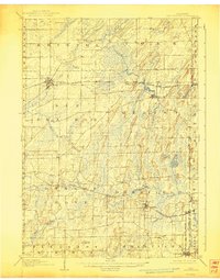
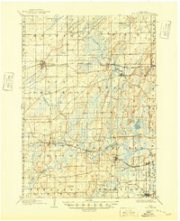
Glacial drumlins and extensive wetlands define the landscape east of Madison during the early 1900s. Several major rail lines converge across this terrain, including the Chicago Milwaukee and St Paul RR and the Chicago and Northwestern, which fostered the growth of dairy-focused settlements like Sun Prairie and Cottage Grove. The map reveals a complex drainage system where Koshkonong Creek and Waterloo Creek wind through low-lying areas like Brazee Swamp, creating a mosaic of peat lands and small lakes such as Goose Lake and Mud Lake.
Find a feature on this map
42 named features on this map. Tap any name to fly to it.
Don’t see what you’re looking for? This feature index may not catch every label — zoom into the map to look around manually.
Map Details
Editions of this 1907 Sun Prairie Map
8 editions found
Other maps of this area

1889 · Evansville
USGS Topo · 1:62,500

1890 · Madison
USGS Topo · 1:62,500

1890 · Sun Prairie
USGS Topo · 1:62,500

1890 · Stoughton
USGS Topo · 1:62,500

1891 · Waterloo
USGS Topo · 1:62,500

1891 · Koshkonong
USGS Topo · 1:62,500

1892 · Madison
USGS Topo · 1:62,500

1894 · Waterloo
USGS Topo · 1:62,500

1894 · Evansville
USGS Topo · 1:62,500

1894 · Koshkonong
USGS Topo · 1:62,500