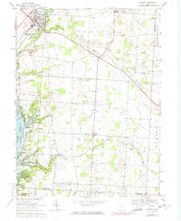
1967 Map of Sunbury
USGS Topo · Published 1974About this map
Sunbury and Galena anchor the northern reaches of this survey, where the Penn Central line cuts through the landscape near Big Walnut High Sch. The map documents a rural transition as the northeastern fingers of the Hoover Reservoir define the western boundary, particularly near Walnut Creek. Significant genealogical interest is found in the clusters of small communities and rural intersections like Center Village, Harlem, and New Hope. The terrain is deeply carved by drainage systems including Rattlesnake Creek and Duncan Run, which feed into the larger reservoir system. Local religious and civic life is marked by several established sites such as Vans Valley Ch and New Bethel Ch, alongside numerous family and community burial grounds like Fancher Cem and Hanover Cem. Industrial activity is sparse but noted at the Claypit near the reservoir.
Find a feature on this map
44 named features on this map. Tap any name to fly to it.
Don’t see what you’re looking for? This feature index may not catch every label — zoom into the map to look around manually.
Map Details
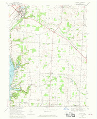
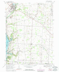
Editions of this 1967 Sunbury Map
3 editions found
Other maps of this area

1902 · Westerville
USGS Topo · 1:62,500

1904 · Westerville
USGS Topo · 1:62,500

1908 · Granville
USGS Topo · 1:62,500

1910 · Granville
USGS Topo · 1:62,500

1915 · Marengo
USGS Topo · 1:62,500

1915 · Fredericktown
USGS Topo · 1:62,500

1943 · Marengo
USGS Topo · 1:62,500

1943 · Fredericktown
USGS Topo · 1:62,500

1950 · Marion
USGS Topo · 1:250,000
1954 · Northeast Columbus
USGS Topo · 1:24,000