
1921 Map of Suncook
USGS Topo · Published 1921About this map
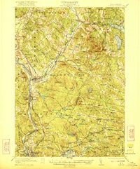
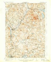
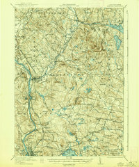
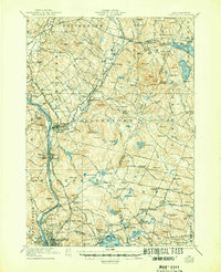
The Merrimack River and Suncook River define the industrial and residential geography of this New Hampshire landscape just after the First World War. Settlement patterns follow the river valleys and early transportation corridors, most notably along the Boston and Maine Railroad and the Concord and Manchester Electric Road. In the south, the extensive waters of Massabesic Lake and Little Massabesic Lake dominate the terrain, while the heights of Fort Mtn and Catamount Hill rising above Allenstown provide a counterpoint to the lowlands.
Find a feature on this map
133 named features on this map. Tap any name to fly to it.
Don’t see what you’re looking for? This feature index may not catch every label — zoom into the map to look around manually.
Map Details
Editions of this 1921 Suncook Map
5 editions found
Other maps of this area

1888 · Haverhill
USGS Topo · 1:62,500

1890 · Haverhill
USGS Topo · 1:62,500

1893 · Haverhill
USGS Topo · 1:62,500

1905 · Manchester
USGS Topo · 1:62,500

1906 · Milford
USGS Topo · 1:62,500

1917 · Mt. Pawtuckaway
USGS Topo · 1:62,500

1919 · Mt. Pawtuckaway
USGS Topo · 1:62,500

1919 · Gilmanton
USGS Topo · 1:62,500

1919 · Alton
USGS Topo · 1:62,500

1927 · Concord
USGS Topo · 1:62,500