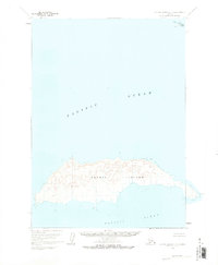
1963 Map of Sutwik Island C-4
USGS Topo · Published 1973About this map
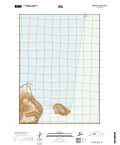
Sutwik Island dominates the southern half of this 1963 survey, standing as a prominent landmass within the Pacific Ocean. The map captures the island's topographic character through intricate contour work based on 1957 aerial photography, highlighting the elevations that rise above the surrounding waters. To the northeast, the smaller Hydra Island is visible, while the easternmost reach of the main island is marked by Foggy Cape. Published in the early 1970s, this document integrates hydrographic data from the U.S. Coast and Geodetic Survey to provide a clear picture of the maritime boundary between the land and the sea. The absence of roads or developed settlements on the island emphasizes its isolated nature during the mid-20th century, serving as a specialized record of the Alaska Peninsula's coastal islands.
Find a feature on this map
4 named features on this map. Tap any name to fly to it.
Don’t see what you’re looking for? This feature index may not catch every label — zoom into the map to look around manually.
Map Details
Editions of this 1963 Sutwik Island C-4 Map
3 editions found
Other maps of this area

1951 · Sutwik Island
USGS Topo · 1:250,000

1954 · Sutwik Island D-3
USGS Topo · 1:63,360
1963 · Sutwik Island C-4
USGS Topo · 1:63,360

1963 · Sutwik Island
USGS Topo · 1:250,000
1963 · Sutwik Island C-5
USGS Topo · 1:63,360
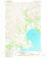
1963 · Sutwik Island D-5
USGS Topo · 1:63,360
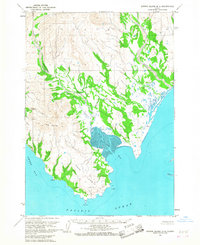
1963 · Sutwik Island D-4
USGS Topo · 1:63,360
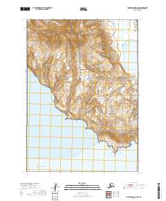
2019 · Sutwik Island D-4 SW
USGS Topo · 1:25,000
2019 · Sutwik Island C-5 SE
USGS Topo · 1:25,000
2019 · Sutwik Island C-5 NE
USGS Topo · 1:25,000