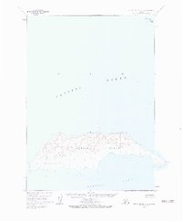
1963 Map of Sutwik Island C-4
USGS Topo · Published 1983About this map
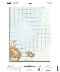
Sutwik Island dominates this mid-century topographic study, standing as a prominent landmass within the Pacific Ocean off the Alaska Peninsula. The island's complex shoreline is defined by numerous small bays and points, culminating at the eastern tip at Foggy Cape. North of the main island, the small Hydra Island appears as a distinct satellite feature. Compiled from 1957 aerial photography and field annotated in the early 1960s, the map reveals a landscape defined entirely by natural topography, with no roads, trails, or permanent human settlements indicated. The interior is characterized by significant elevation changes, providing a detailed view of the island's coastal geography before later administrative changes in the region.
Find a feature on this map
4 named features on this map. Tap any name to fly to it.
Don’t see what you’re looking for? This feature index may not catch every label — zoom into the map to look around manually.
Map Details
Editions of this 1963 Sutwik Island C-4 Map
3 editions found
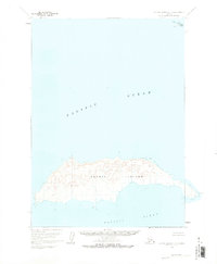
Other maps of this area

1951 · Sutwik Island
USGS Topo · 1:250,000

1954 · Sutwik Island D-3
USGS Topo · 1:63,360
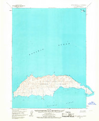
1963 · Sutwik Island C-4
USGS Topo · 1:63,360

1963 · Sutwik Island
USGS Topo · 1:250,000
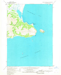
1963 · Sutwik Island C-5
USGS Topo · 1:63,360
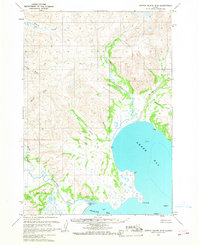
1963 · Sutwik Island D-5
USGS Topo · 1:63,360
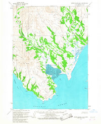
1963 · Sutwik Island D-4
USGS Topo · 1:63,360
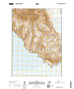
2019 · Sutwik Island D-4 SW
USGS Topo · 1:25,000
2019 · Sutwik Island C-5 SE
USGS Topo · 1:25,000
2019 · Sutwik Island C-5 NE
USGS Topo · 1:25,000