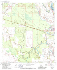
1968 Map of Swayze Lake
USGS Topo · Published 1994About this map
Sambo and Melville sit at the center of this hydrographic study along the West Atchafalaya Floodway, illustrating the complex water management systems of late 20th-century Louisiana. The map reveals a landscape defined by an intricate network of waterways including Bayou Rouge, Hog Bayou, and Petite Prairie Bayou, which are intersected by modern pipelines and flood control structures like the Floodgate near the Pointe Coupee and St. Landry Parish line.
Find a feature on this map
30 named features on this map. Tap any name to fly to it.
Don’t see what you’re looking for? This feature index may not catch every label — zoom into the map to look around manually.
Map Details
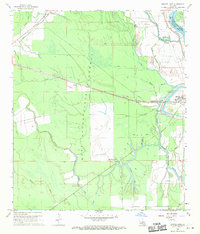
Editions of this 1968 Swayze Lake Map
2 editions found
Other maps of this area

1939 · Fordoche
USGS Topo · 1:62,500

1941 · Batchelor
USGS Topo · 1:62,500

1954 · Baton Rouge
USGS Topo · 1:250,000

1955 · Fordoche
USGS Topo · 1:62,500

1955 · Batchelor
USGS Topo · 1:62,500

1955 · Odenburg
USGS Topo · 1:62,500

1956 · Baton Rouge
USGS Topo · 1:250,000

1959 · Fordoche
USGS Topo · 1:62,500

1959 · Palmetto
USGS Topo · 1:62,500

1961 · Baton Rouge
USGS Topo · 1:250,000