
1900 Map of Syracuse
USGS Topo · Published 1900About this map
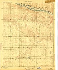
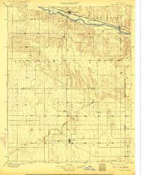
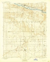
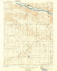
The Atchison Topeka and Santa Fe railroad corridor defines the settlement patterns of this High Plains landscape, running parallel to the Arkansas River through the northern portion of the region. Surveyed just before the turn of the century, the map reveals a sparsely populated frontier transition where early cattle and farming outposts like Hatton, Edwin, and Gognac are scattered across vast townships. The terrain is deeply influenced by drainage systems such as Bear Creek and Fletcher Creek, which cut through the undulating surface toward the main river valley.
Find a feature on this map
23 named features on this map. Tap any name to fly to it.
Don’t see what you’re looking for? This feature index may not catch every label — zoom into the map to look around manually.
Map Details
Editions of this 1900 Syracuse Map
5 editions found
Other maps of this area

1890 · Granada
USGS Topo · 1:125,000

1891 · Albany
USGS Topo · 1:125,000

1891 · Larned
USGS Topo · 1:125,000

1892 · Vilas
USGS Topo · 1:125,000

1892 · Granada
USGS Topo · 1:125,000

1893 · Albany
USGS Topo · 1:125,000

1894 · Granada
USGS Topo · 1:125,000

1900 · Lakin
USGS Topo · 1:125,000

1920 · Syracuse
USGS Topo · 1:125,000

1953 · Holly East
USGS Topo · 1:24,000