
1898 Map of Syracuse
USGS Topo · Published 1898About this map
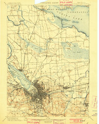
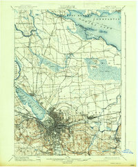
The industrial and transportation hub of Syracuse sits at the center of this late 19th-century landscape, dominated by a dense network of railroads and historic waterways. Extensive Salt Sheds line the southern shore of Onondaga Lake, representing the city's legacy as a salt production center, while the Erie Canal and Oswego Canal facilitate heavy commerce. To the north, the terrain transitions into the sprawling Cicero Swamp and the southern shores of Oneida Lake, featuring Frenchman Ids. and South Bay.
Find a feature on this map
92 named features on this map. Tap any name to fly to it.
Don’t see what you’re looking for? This feature index may not catch every label — zoom into the map to look around manually.
Map Details
Editions of this 1898 Syracuse Map
10 editions found
1898 edition
16.6 x 20.2 inches
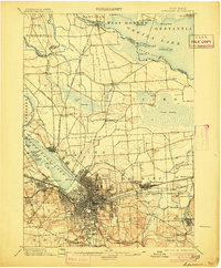
1901 edition
15.5 x 19.4 inches
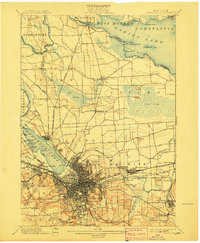
1905 edition
16.6 x 20.1 inches
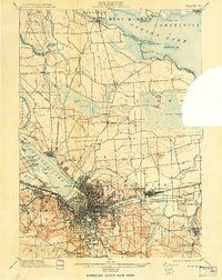
1907 edition
16.6 x 20.2 inches
1908 edition
15.64 x 19.71 inches
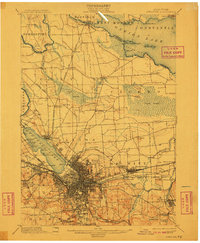
1910 edition
16.6 x 20.1 inches
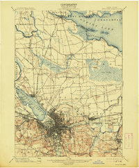
1913 edition
16.6 x 20.1 inches
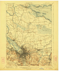
1923 edition
16.6 x 20.2 inches
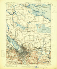
1930 edition
16.4 x 19.9 inches
1937 edition
16.6 x 20.1 inches
Other maps of this area

1895 · Chittenango
USGS Topo · 1:62,500

1895 · Syracuse
USGS Topo · 1:62,500

1897 · Cazenovia
USGS Topo · 1:62,500

1898 · Chittenango
USGS Topo · 1:62,500

1899 · Skaneateles
USGS Topo · 1:62,500

1899 · Cazenovia
USGS Topo · 1:62,500

1900 · Baldwinsville
USGS Topo · 1:62,500

1900 · Tully
USGS Topo · 1:62,500

1900 · Fulton
USGS Topo · 1:62,500

1902 · Skaneateles
USGS Topo · 1:62,500