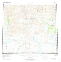
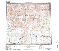
1956 Map of Table Mountain
USGS Topo · Published 1973About this map
The Brooks Range and the Davidson Mountains dominate this high-latitude terrain, where the Continental Divide separates the northward-flowing waters of the Kongakut River from the southward drainages of the Sheenjek River and Coleen River. This mid-century survey captures the region shortly after the establishment of the Arctic National Wildlife Range, documenting a landscape nearly devoid of permanent human infrastructure except for a lone cabin and several remote water bodies like Ambrussum Lake (Lost Lake) and Kuirzinjik Lake (Lobo Lake). Along the eastern boundary, the map traces the Alaska-Yukon border where the Firth River crosses into Canada near Ammerman Mountain. The drainage patterns and named ridges like Yankee Ridge and Old Crow Ridge illustrate the complex geography of the Arctic wilderness before modern aerial mapping and field checking were fully finalized.
Find a feature on this map
38 named features on this map. Tap any name to fly to it.
Don’t see what you’re looking for? This feature index may not catch every label — zoom into the map to look around manually.
Map Details
Editions of this 1956 Table Mountain Map
6 editions found
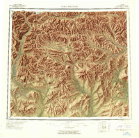
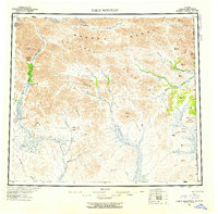
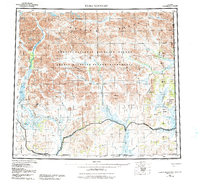
Other maps of this area

1951 · Demarcation Point
USGS Topo · 1:250,000

1951 · Coleen
USGS Topo · 1:250,000

1951 · Christian
USGS Topo · 1:250,000

1951 · Arctic
USGS Topo · 1:250,000

1951 · Table Mountain
USGS Topo · 1:250,000

1951 · Mt. Michelson
USGS Topo · 1:250,000

1955 · Demarcation Point
USGS Topo · 1:250,000

1956 · Table Mountain
USGS Topo · 1:250,000

1956 · Coleen
USGS Topo · 1:250,000

1956 · Arctic
USGS Topo · 1:250,000