
1960 Map of Tait Lake
USGS Topo · Published 1962About this map
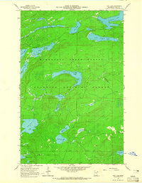
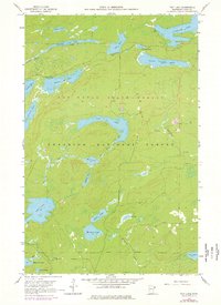
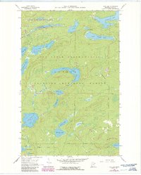
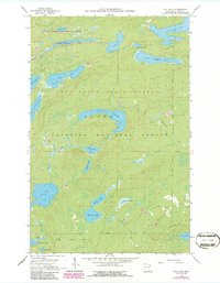
Tait Lake and its surrounding boreal landscape are defined by a dense network of glacial water bodies within the overlapping boundaries of the Minnesota State Forest and the Superior National Forest. This 1960 survey highlights the remote wilderness character of Cook County before modern development, featuring a transition of timber and water where the Tait River feeds into central basins. The map illustrates early recreational and industrial footprints, such as a designated Campground on the shores of Lichen Lake and a Gravel Pit near the headwaters of Mississippi Creek. To the north, the sprawling Cascade Lake and Little Cascade Lake dominate the drainage system, while smaller, secluded features like Mistletoe Lake, Strobus Lake, and Roast Lake dot the southern interior. The absence of major settlements emphasizes the region's role as a protected timber and watershed resource during the mid-twentieth century.
Find a feature on this map
28 named features on this map. Tap any name to fly to it.
Don’t see what you’re looking for? This feature index may not catch every label — zoom into the map to look around manually.
Map Details
Editions of this 1960 Tait Lake Map
5 editions found
Other maps of this area

1919 · Brule Lake
USGS Topo · 1:62,500

1919 · Lutsen
USGS Topo · 1:62,500

1954 · Two Harbors
USGS Topo · 1:250,000

1955 · Tofte
USGS Topo · 1:62,500

1957 · Two Harbors
USGS Topo · 1:250,000

1958 · Two Harbors
USGS Topo · 1:250,000

1958 · Deer Yard Lake
USGS Topo · 1:24,000

1959 · Lutsen
USGS Topo · 1:24,000

1960 · Mark Lake
USGS Topo · 1:24,000

1960 · Sawbill Camp
USGS Topo · 1:24,000