
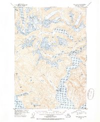
1951 Map of Taku River A-6
USGS Topo · Published 1954About this map
Port Snettisham defines the maritime geography of this coastal area, where the deep waters of Speel Arm reach into a landscape of high glaciated peaks. The map reveals the early industrial and surveying footprint within the Tongass National Forest, particularly around the mouth of Prospect Creek. Evidence of resource extraction is visible at the Whigg Placer Mine near the southern coast and an unnamed Mine situated along the shoreline of Mallard Cove.
Find a feature on this map
39 named features on this map. Tap any name to fly to it.
Don’t see what you’re looking for? This feature index may not catch every label — zoom into the map to look around manually.
Map Details
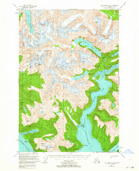
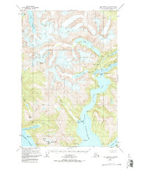
Editions of this 1951 Taku River A-6 Map
4 editions found
Other maps of this area

1948 · Sitka D-1
USGS Topo · 1:63,360

1948 · Sumdum D-6
USGS Topo · 1:63,360

1948 · Sumdum D-5
USGS Topo · 1:63,360

1948 · Juneau B-1
USGS Topo · 1:63,360

1951 · Juneau
USGS Topo · 1:250,000

1951 · Taku River B-6
USGS Topo · 1:63,360

1951 · Taku River A-5
USGS Topo · 1:63,360

1951 · Taku River B-5
USGS Topo · 1:63,360

1951 · Sitka
USGS Topo · 1:250,000

1951 · Juneau A-1
USGS Topo · 1:63,360