
1958 Map of Talkeetna B-1
USGS Topo · Published 1960About this map
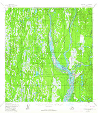
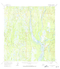
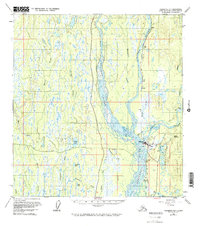
The confluence of the Chulitna River, Susitna River, and Talkeetna River forms the geographical heart of this 1958 survey. The settlement of Talkeetna sits at this major river junction, serving as a hub for both waterborne and rail transit via The Alaska Railroad. The terrain is defined by a dense network of braided channels, sloughs, and countless small water bodies like Christiansen Lake and Fish Lake. Further north along the tracks, the stop at Chase and the VABM Chase landmark provide reference points for the developing transportation corridor. Evidence of backcountry access is visible through a Tractor Trail cutting through the vegetation, while an Airstrip, Towers, and a Beacon near the town center highlight the area's role as a regional aviation and communications node in the late 1950s.
Find a feature on this map
30 named features on this map. Tap any name to fly to it.
Don’t see what you’re looking for? This feature index may not catch every label — zoom into the map to look around manually.
Map Details
Editions of this 1958 Talkeetna B-1 Map
4 editions found
Other maps of this area

1949 · Talkeetna Mountains B-6
USGS Topo · 1:63,360

1949 · Talkeetna Mountains C-6
USGS Topo · 1:63,360

1950 · Talkeetna Mountains
USGS Topo · 1:250,000

1950 · Talkeetna
USGS Topo · 1:250,000

1950 · Talkeetna Mountains A-6
USGS Topo · 1:63,360

1951 · Talkeetna
USGS Topo · 1:250,000

1951 · Talkeetna B-1
USGS Topo · 1:63,360

1951 · Talkeetna C-1
USGS Topo · 1:63,360

1952 · Talkeetna Mountains C-6
USGS Topo · 1:63,360

1952 · Talkeetna Mountains B-6
USGS Topo · 1:63,360