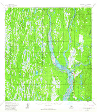
1958 Map of Talkeetna B-1
USGS Topo · Published 1964About this map
The confluence of three major glacial waterways—the Chulitna River, Susitna River, and Talkeetna River—dominates this Alaskan landscape at the edge of the Talkeetna Mountains. The settlement of Talkeetna serves as a vital transit hub, featuring a Landing Strip, a Beacon, and Towers positioned along the Alaska Railroad. This rail line cuts northward through the wilderness toward the smaller stop at Chase, while an extensive network of swamps and small water bodies like Scotty Lake and Fish Lake characterize the lowlands between the river forks.
Find a feature on this map
33 named features on this map. Tap any name to fly to it.
Don’t see what you’re looking for? This feature index may not catch every label — zoom into the map to look around manually.
Map Details
Editions of this 1958 Talkeetna B-1 Map
4 editions found

Other maps of this area

1949 · Talkeetna Mountains B-6
USGS Topo · 1:63,360

1949 · Talkeetna Mountains C-6
USGS Topo · 1:63,360

1950 · Talkeetna Mountains
USGS Topo · 1:250,000

1950 · Talkeetna
USGS Topo · 1:250,000

1950 · Talkeetna Mountains A-6
USGS Topo · 1:63,360

1951 · Talkeetna
USGS Topo · 1:250,000

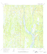
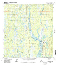
1951 · Talkeetna B-1
USGS Topo · 1:63,360

1951 · Talkeetna C-1
USGS Topo · 1:63,360

1952 · Talkeetna Mountains C-6
USGS Topo · 1:63,360

1952 · Talkeetna Mountains B-6
USGS Topo · 1:63,360