1949 Map of Talkeetna Mountains B-6
USGS Topo · Published 1967About this map
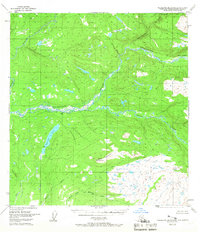
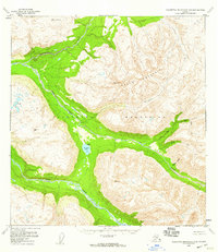
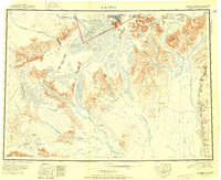
The Talkeetna River dominates this mid-century survey, winding through a complex network of glacial valleys and mountain peaks in the Matanuska-Susitna region. Based on 1949 photogrammetry, the map reflects an era of remote Alaskan surveying where land lines were predetermined by the Bureau of Land Management but often remained unsurveyed on the ground. A single cabin is noted near Chunilna Creek, highlighting the sparse human presence in this wilderness at the time. To the south, the terrain rises toward Bald Mountain, which stands as a prominent landmark overlooking the confluence of numerous waterways including Larson Lake and the North Fork Montana Creek. Smaller tributaries like Disappointment Creek and Answer Creek drain the surrounding slopes, illustrating the intricate drainage patterns of the Seward Meridian.
Find a feature on this map
9 named features on this map. Tap any name to fly to it.
Don’t see what you’re looking for? This feature index may not catch every label — zoom into the map to look around manually.
Map Details
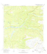
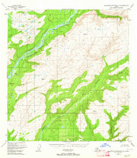
Editions of this 1949 Talkeetna Mountains B-6 Map
4 editions found

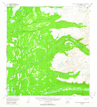
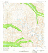
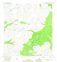
Other maps of this area
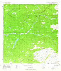
1949 · Talkeetna Mountains B-6
USGS Topo · 1:63,360
1949 · Talkeetna Mountains C-6
USGS Topo · 1:63,360

1950 · Talkeetna Mountains
USGS Topo · 1:250,000

1950 · Talkeetna
USGS Topo · 1:250,000
1950 · Talkeetna Mountains B-5
USGS Topo · 1:63,360
1950 · Talkeetna Mountains A-6
USGS Topo · 1:63,360
1950 · Talkeetna Mountains A-5
USGS Topo · 1:63,360
1950 · Talkeetna Mountains C-5
USGS Topo · 1:63,360
1951 · Talkeetna
USGS Topo · 1:250,000

1951 · Talkeetna B-1
USGS Topo · 1:63,360