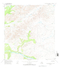
1951 Map of Talkeetna Mountains D-2
USGS Topo · Published 1972About this map
The Susitna River carves through the southern portion of this interior landscape, serving as the primary geographical anchor for a region defined by its significant drainage systems. This 1951 field-annotated survey identifies several prominent tributaries including Watana Creek, which flows from the north, and Kosina Creek entering from the south. The terrain is further detailed by established survey markers such as Vabm 5606 Watana and Vabm 4724 Brown, providing precise elevation points across the high country.
Find a feature on this map
9 named features on this map. Tap any name to fly to it.
Don’t see what you’re looking for? This feature index may not catch every label — zoom into the map to look around manually.
Map Details
Editions of this 1951 Talkeetna Mountains D-2 Map
2 editions found
Other maps of this area

1949 · Healy A-1
USGS Topo · 1:63,360

1950 · Talkeetna Mountains
USGS Topo · 1:250,000

1950 · Healy A-3
USGS Topo · 1:63,360

1951 · Healy
USGS Topo · 1:250,000

1951 · Talkeetna Mountains C-2
USGS Topo · 1:63,360

1951 · Talkeetna Mountains D-2
USGS Topo · 1:63,360

1951 · Talkeetna Mountains C-1
USGS Topo · 1:63,360

1951 · Talkeetna Mountains D-1
USGS Topo · 1:63,360

1951 · Talkeetna Mountains D-3
USGS Topo · 1:63,360

1951 · Talkeetna Mountains C-3
USGS Topo · 1:63,360