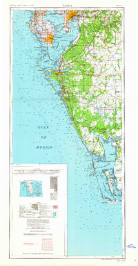
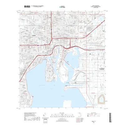
1947 Map of Tampa
USGS Topo · Published 1947About this map
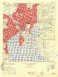
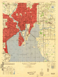
Ybor City stands as a dense urban core on the northeastern edge of Hillsborough Bay during this post-war era, its industrial character defined by the complex network of the Ybor Channel and Sparkman Channel. The map reveals a city in transition, where the established streets of Tampa meet the planned residential expansion of the Davis Islands and the maritime infrastructure of Seddon Island. To the south, the Peter O Knight Municipal Airport occupies the tip of the islands, complete with its Seaplane Basin and Control Tower. This period captures the city's rail-dependent economy, with the Seaboard Air Line and Atlantic Coast Line railroads threading through eastern districts like Uceta and Gary. The landscape is dotted with significant local landmarks, from the Armory and Centro Asturiano Hospital to numerous community spaces like Plant Field and the Palma Ceia Golf Club.
Find a feature on this map
82 named features on this map. Tap any name to fly to it.
Don’t see what you’re looking for? This feature index may not catch every label — zoom into the map to look around manually.
Map Details
Editions of this 1947 Tampa Map
2 editions found
Historical Maps of Tampa Through Time
14 maps found

1921 Tampa
Hillsborough County, FL

1944 Tampa
Hillsborough County, FL
1947 Tampa
Hillsborough County, FL
1956 Tampa
Hillsborough County, FL
1956 Tampa
Hillsborough County, FL

1959 Tampa
Hillsborough County, FL
1960 Tampa
Hillsborough County, FL

1972 Tampa
Hillsborough County, FL
1995 Tampa
Hillsborough County, FL
2012 Tampa
Hillsborough County, FL
2015 Tampa
Hillsborough County, FL
2018 Tampa
Hillsborough County, FL

2021 Tampa
Hillsborough County, FL
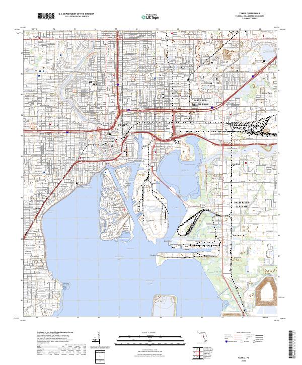
2024 Tampa
Hillsborough County, FL