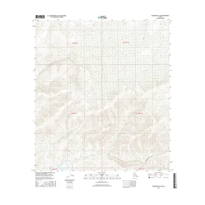
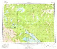
2016 Map of Tanacross B-4 NE
USGS Topo · Published 2016About this map
The Tanana River cuts through the southern margin of this interior Alaska landscape, serving as a primary hydrological landmark in a region defined by its complex drainage systems. Higher elevations to the north are dissected by several named waterways, including Porcupine Cr and the Dennison Fork, which snake through the varied terrain of the Tanacross region. This 2016 survey highlights a remote section of the Unorganized Borough where human infrastructure is largely limited to the Taylor Highway, which enters the area from the southeast. The map serves as a detailed record of the Public Land Survey System divisions, illustrating the township and range boundaries such as t19n r14e and t19n r15e that organize this vast, unsettled territory.
Find a feature on this map
10 named features on this map. Tap any name to fly to it.
Don’t see what you’re looking for? This feature index may not catch every label — zoom into the map to look around manually.
Map Details
Editions of this 2016 Tanacross B-4 NE Map
This is the sole edition of this map. No revisions or reprints were ever made.
Other maps of this area
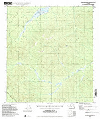
1948 · Tanacross B-3
USGS Topo · 1:63,360

1949 · Tanacross
USGS Topo · 1:250,000
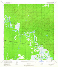
1949 · Tanacross B-4
USGS Topo · 1:63,360
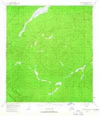
1949 · Tanacross B-3
USGS Topo · 1:63,360

1950 · Tanacross
USGS Topo · 1:250,000
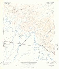
1951 · Tanacross B-4
USGS Topo · 1:63,360
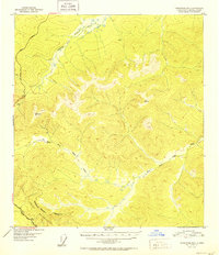
1952 · Tanacross B-3
USGS Topo · 1:63,360
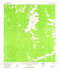
1956 · Tanacross C-3
USGS Topo · 1:63,360
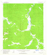
1956 · Tanacross C-4
USGS Topo · 1:63,360
1956 · Tanacross
USGS Topo · 1:250,000