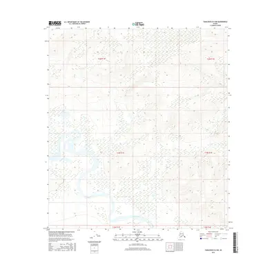
2016 Map of Tanacross B-4 NW
USGS Topo · Published 2016About this map
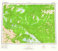
The Tanana River meanders across this northern landscape, carving a complex series of oxbows and channels through low-lying terrain. As documented in this 2016 survey, the river serves as the dominant hydrological force, creating a braided network of water and wetlands that characterize much of the southern half of the quadrangle. The map highlights the shifting path of the river, where seasonal changes and glacial runoff from distant ranges constantly reshape the shoreline and sandbars. Beyond the river valley, the terrain transitions into a grid of public land subdivisions, including t19n r13e and t20n r14e, which define the administrative boundaries of this interior Alaskan wilderness. This survey is a precise record of the natural topography and waterway alignment in an area largely defined by its lack of permanent settlements or infrastructure.
Find a feature on this map
7 named features on this map. Tap any name to fly to it.
Don’t see what you’re looking for? This feature index may not catch every label — zoom into the map to look around manually.
Map Details
Editions of this 2016 Tanacross B-4 NW Map
This is the sole edition of this map. No revisions or reprints were ever made.
Other maps of this area
1948 · Tanacross B-5
USGS Topo · 1:63,360

1949 · Tanacross
USGS Topo · 1:250,000
1949 · Tanacross B-4
USGS Topo · 1:63,360

1950 · Tanacross
USGS Topo · 1:250,000
1951 · Tanacross B-4
USGS Topo · 1:63,360
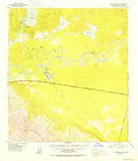
1952 · Tanacross B-5
USGS Topo · 1:63,360
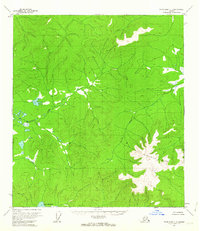
1956 · Tanacross C-5
USGS Topo · 1:63,360
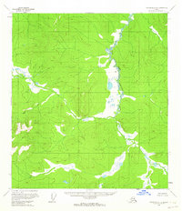
1956 · Tanacross C-4
USGS Topo · 1:63,360
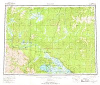
1956 · Tanacross
USGS Topo · 1:250,000
1964 · Tanacross
USGS Topo · 1:250,000