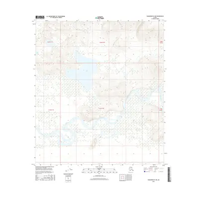
2016 Map of Tanacross B-5 NE
USGS Topo · Published 2016About this map
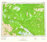
The Tanana River dominates the lower half of this landscape, its braided channels and wide floodplain defining the interior Alaska terrain. The river's winding path through the southern townships, including t19n r11e, t19n r12e, and t19n r13e, reveals a complex network of wetlands and shifting sandbars characteristic of the region's glacial runoff systems. North of the river, the land rises into upland plateaus and ridges, punctuated by significant bodies of water. Wolf Lake sits at the center of the northern interior, surrounded by a transition from marshy lowlands to higher elevations in t20n r12e. Near the western edge, the smaller Fish Lake provides another waypoint in a landscape largely defined by its hydrological patterns and the absence of established road infrastructure or permanent settlements.
Find a feature on this map
9 named features on this map. Tap any name to fly to it.
Don’t see what you’re looking for? This feature index may not catch every label — zoom into the map to look around manually.
Map Details
Editions of this 2016 Tanacross B-5 NE Map
This is the sole edition of this map. No revisions or reprints were ever made.
Other maps of this area
1948 · Tanacross B-5
USGS Topo · 1:63,360

1949 · Tanacross
USGS Topo · 1:250,000
1949 · Tanacross B-4
USGS Topo · 1:63,360

1950 · Tanacross
USGS Topo · 1:250,000
1951 · Tanacross B-4
USGS Topo · 1:63,360
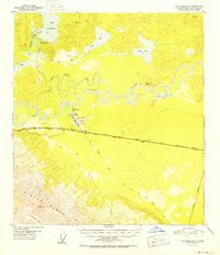
1952 · Tanacross B-5
USGS Topo · 1:63,360
1956 · Tanacross C-5
USGS Topo · 1:63,360
1956 · Tanacross C-4
USGS Topo · 1:63,360
1956 · Tanacross
USGS Topo · 1:250,000
1964 · Tanacross
USGS Topo · 1:250,000