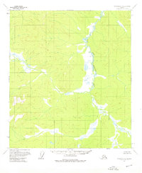
1956 Map of Tanacross C-4
USGS Topo · Published 1976About this map
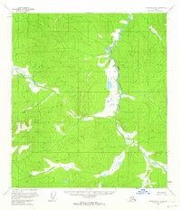
West Fork Dennison Fork dominates the hydrology of this interior Alaskan wilderness, as mapped during the mid-1950s by the Geological Survey and Bureau of Land Management. The terrain is characterized by a complex network of unnamed ridges and drainages within the Tanacross C-4 quadrangle, showing the primitive state of the land before any established roads or trails were documented. This specific survey was compiled using photogrammetric methods from aerial photography taken in 1954 and 1955, providing a precise record of the natural swamp and river patterns. Because the region remains largely devoid of permanent human settlements or structures on this sheet, the primary value for researchers lies in the intricate contouring and the natural course of the West Fork Dennison Fork as it winds through the Copper River Meridian.
Find a feature on this map
1 named feature on this map. Tap any name to fly to it.
Don’t see what you’re looking for? This feature index may not catch every label — zoom into the map to look around manually.
Map Details
Editions of this 1956 Tanacross C-4 Map
2 editions found
Other maps of this area

1948 · Tanacross B-5
USGS Topo · 1:63,360

1948 · Tanacross B-3
USGS Topo · 1:63,360

1949 · Tanacross
USGS Topo · 1:250,000

1949 · Tanacross B-4
USGS Topo · 1:63,360

1949 · Tanacross B-3
USGS Topo · 1:63,360

1950 · Tanacross
USGS Topo · 1:250,000

1951 · Tanacross B-4
USGS Topo · 1:63,360

1952 · Tanacross B-5
USGS Topo · 1:63,360

1952 · Tanacross B-3
USGS Topo · 1:63,360

1956 · Tanacross D-3
USGS Topo · 1:63,360