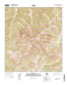
2015 Map of Tanacross D-1 SW
USGS Topo · Published 2015About this map
E Fork Dennison Fork meanders through the heart of this Southeast Fairbanks landscape, illustrating the intricate drainage patterns of the Alaskan interior as recorded in 2015. The terrain is defined by the high-elevation headwaters of several critical water systems, including the Sixtymile River which appears in the southeastern quadrant. This area, largely devoid of modern settlements or road infrastructure, serves as a significant record of the natural hydrology near the border. Smaller tributaries like Dude Cr and Liberty Cr provide finer detail of the topography, which is methodically partitioned by the township and range lines of t24n r21e and surrounding survey blocks.
Find a feature on this map
8 named features on this map. Tap any name to fly to it.
Don’t see what you’re looking for? This feature index may not catch every label — zoom into the map to look around manually.
Map Details
Editions of this 2015 Tanacross D-1 SW Map
This is the sole edition of this map. No revisions or reprints were ever made.
Other maps of this area

1949 · Tanacross
USGS Topo · 1:250,000

1950 · Tanacross
USGS Topo · 1:250,000

1956 · Tanacross C-1
USGS Topo · 1:63,360

1956 · Tanacross D-2
USGS Topo · 1:63,360

1956 · Tanacross C-2
USGS Topo · 1:63,360

1956 · Tanacross D-1
USGS Topo · 1:63,360

1956 · Tanacross
USGS Topo · 1:250,000

1964 · Tanacross
USGS Topo · 1:250,000
2013 · Tanacross D-2 SE
USGS Topo · 1:25,000
2013 · Tanacross C-2 NE
USGS Topo · 1:25,000