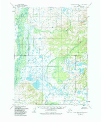
1954 Map of Taylor Mountains A-1
USGS Topo · Published 1984About this map
The Mulchatna River and the Swan River dominate this Alaskan landscape, creating a complex network of waterways through a mosaic of tundra and low-lying wetlands. Surveyed in the mid-1950s, the terrain shows limited human development, characterized primarily by isolated structures such as a Cabin and several Cabins situated near the riverbanks. These small outposts suggest a reliance on the river systems for seasonal travel or subsistence activities in an era before significant infrastructure reached the interior.
Find a feature on this map
11 named features on this map. Tap any name to fly to it.
Don’t see what you’re looking for? This feature index may not catch every label — zoom into the map to look around manually.
Map Details
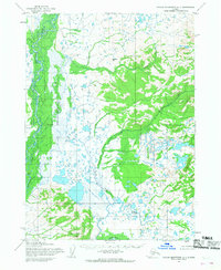
Editions of this 1954 Taylor Mountains A-1 Map
2 editions found
Other maps of this area

1946 · Lake Clark
USGS Topo · 1:250,000

1950 · Taylor Mountains
USGS Topo · 1:250,000

1951 · Lake Clark
USGS Topo · 1:250,000

1951 · Taylor Mountains
USGS Topo · 1:250,000

1951 · Dillingham
USGS Topo · 1:250,000

1952 · Iliamna
USGS Topo · 1:250,000

1954 · Lake Clark A-8
USGS Topo · 1:63,360

1954 · Iliamna D-8
USGS Topo · 1:63,360

1954 · Taylor Mountains
USGS Topo · 1:250,000

1954 · Dillingham
USGS Topo · 1:250,000