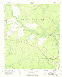
1958 Map of Taylors Creek
USGS Topo · Published 1969About this map
Fort Stewart Military Reservation dominates this coastal plain landscape, where the Department of the Army and the Geological Survey documented a terrain transitioned for military use in the late 1950s. The map reveals a sophisticated network of waterways, including the winding Canoochee Creek and Taylors Creek, interspersed with numerous swampy depressions such as Sandy Swamp, Strum Bay, and Cedar Bay.
Find a feature on this map
23 named features on this map. Tap any name to fly to it.
Don’t see what you’re looking for? This feature index may not catch every label — zoom into the map to look around manually.
Map Details
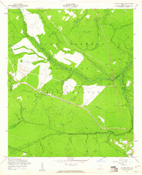
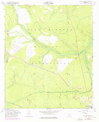
Editions of this 1958 Taylors Creek Map
3 editions found
Other maps of this area

1918 · Hinesville
USGS Topo · 1:62,500

1919 · Claxton
USGS Topo · 1:62,500

1920 · Pembroke
USGS Topo · 1:62,500

1920 · Glennville
USGS Topo · 1:62,500

1944 · Claxton
USGS Topo · 1:62,500

1944 · Glennville
USGS Topo · 1:62,500

1944 · Hinesville
USGS Topo · 1:62,500

1946 · Brunswick
USGS Topo · 1:250,000

1947 · Savannah
USGS Topo · 1:250,000

1948 · Brunswick
USGS Topo · 1:250,000