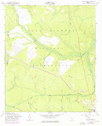
1958 Map of Taylors Creek
USGS Topo · Published 1976About this map
Fort Stewart dominates this landscape in Liberty County, showcasing a terrain defined by the heavy presence of the military alongside deep South Georgia wetlands. The land is intricately partitioned by water, from the winding Canoochee Creek to the expansive Sandy Swamp and Strum Bay. This survey captures a transitional moment for the region, where remnants of earlier rural life, such as the Todd-Ray Cem and Taylors Creek Cem, sit within the expansive Fort Stewart Military Reservation.
Find a feature on this map
20 named features on this map. Tap any name to fly to it.
Don’t see what you’re looking for? This feature index may not catch every label — zoom into the map to look around manually.
Map Details
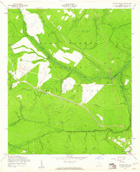
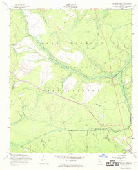
Editions of this 1958 Taylors Creek Map
3 editions found
Other maps of this area

1918 · Hinesville
USGS Topo · 1:62,500

1919 · Claxton
USGS Topo · 1:62,500

1920 · Pembroke
USGS Topo · 1:62,500

1920 · Glennville
USGS Topo · 1:62,500

1944 · Claxton
USGS Topo · 1:62,500

1944 · Glennville
USGS Topo · 1:62,500

1944 · Hinesville
USGS Topo · 1:62,500

1946 · Brunswick
USGS Topo · 1:250,000

1947 · Savannah
USGS Topo · 1:250,000

1948 · Brunswick
USGS Topo · 1:250,000