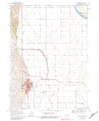
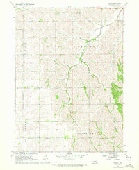
1970 Map of Tekamah
USGS Topo · Published 1983About this map
Tekamah sits at the foot of Tekamah Hill, serving as the seat of local government where the Courthouse and City Hall anchor the town's grid. The landscape to the east is defined by an extensive reclamation and drainage network, including the Tekamah Diversion Ditch, Ruwe Ditch, and Riverside Ditch, which manage the Missouri River's floodplains. Near the confluence of the Missouri River and Little Sioux River, the boundary between Burt, Monona, and Harrison counties meets the Iowa state line, illustrating the complex hydrology of the region.
Find a feature on this map
37 named features on this map. Tap any name to fly to it.
Don’t see what you’re looking for? This feature index may not catch every label — zoom into the map to look around manually.
Map Details
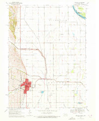
Editions of this 1970 Tekamah Map
2 editions found
Other maps of this area

1955 · Fremont
USGS Topo · 1:250,000

1957 · Fremont
USGS Topo · 1:250,000

1958 · Fremont
USGS Topo · 1:250,000

1970 · Oakland SE
USGS Topo · 1:24,000

1970 · Little Sioux
USGS Topo · 1:24,000
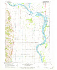
1970 · Tekamah NW
USGS Topo · 1:24,000
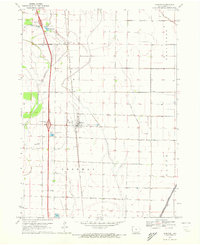
1970 · Blencoe
USGS Topo · 1:24,000
1970 · Bertha
USGS Topo · 1:24,000

1970 · Herman
USGS Topo · 1:24,000

1970 · Mondamin
USGS Topo · 1:24,000