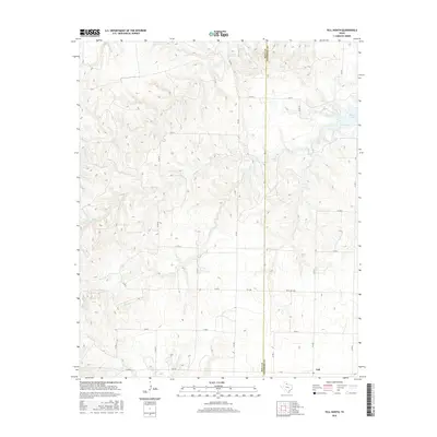
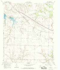
2016 Map of Tell North
USGS Topo · Published 2016About this map
Tell sits at the southern edge of this landscape, marking a concentrated point of settlement where several rural routes converge. The terrain is defined by an intricate network of drainage, primarily moving toward the east and southeast through channels like Rustlers Cr and the various branches of the Baylor system, including N Baylor Cr and S Baylor Cr. In the northeast, Baylor Lake serves as a prominent water feature. The map reveals a highly structured grid of county roads and farm-to-market routes, such as FM 658 and Ranch Rd 1282, which facilitate movement across the rolling plains. This network reflects the area's agricultural organization and its connectivity between Childress and Hall counties, where the landscape is largely shaped by the natural flow of Cox Cr and Baylor Cr.
Find a feature on this map
25 named features on this map. Tap any name to fly to it.
Don’t see what you’re looking for? This feature index may not catch every label — zoom into the map to look around manually.
Map Details
Editions of this 2016 Tell North Map
This is the sole edition of this map. No revisions or reprints were ever made.
Other maps of this area

1954 · Plainview
USGS Topo · 1:250,000

1958 · Plainview
USGS Topo · 1:250,000
1961 · Memphis
USGS Topo · 1:62,500
1961 · Estelline
USGS Topo · 1:62,500
1967 · Tell South
USGS Topo · 1:24,000
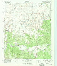
1967 · Hell Roaring Creek
USGS Topo · 1:24,000
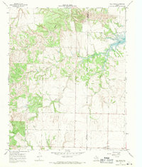
1967 · Tell North
USGS Topo · 1:24,000
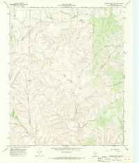
1967 · Badger Nest Tank
USGS Topo · 1:24,000
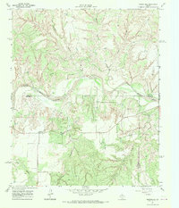
1967 · Northfield
USGS Topo · 1:24,000
1967 · Carey
USGS Topo · 1:24,000