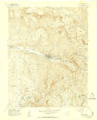
1955 Map of Telluride
USGS Topo · Published 1957About this map
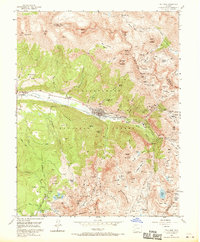
Telluride serves as the focal point of this mid-century survey, revealing a landscape defined by an intensive hard-rock mining economy. The town site is surrounded by a dense network of industrial sites, including the Smuggler Mine, Liberty Bell Mine, and Cimarron Mine. High above the valley floor, the Tomboy (Ruins) and Montana Mine (Ruins) mark the remains of high-altitude settlements and operations that once drove the region's wealth.
Find a feature on this map
93 named features on this map. Tap any name to fly to it.
Don’t see what you’re looking for? This feature index may not catch every label — zoom into the map to look around manually.
Map Details
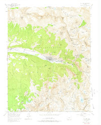
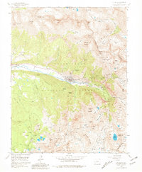
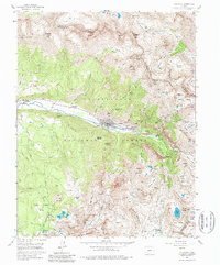
Editions of this 1955 Telluride Map
8 editions found
Other maps of this area

1897 · Telluride
USGS Topo · 1:62,500

1897 · Silverton
USGS Topo · 1:62,500

1901 · Silverton
USGS Topo · 1:62,500

1902 · Silverton
USGS Topo · 1:62,500

1902 · Ouray
USGS Topo · 1:62,500

1904 · Ouray
USGS Topo · 1:62,500

1904 · Telluride
USGS Topo · 1:62,500

1909 · Montrose
USGS Topo · 1:125,000

1911 · Montrose
USGS Topo · 1:125,000

1945 · Durango
USGS Topo · 1:250,000