
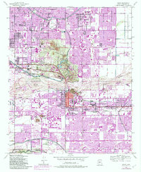
1952 Map of Tempe
USGS Topo · Published 1957About this map
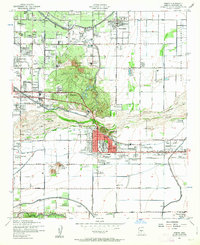
The Salt River valley south of Scottsdale reveals an era of rapid transition from desert agriculture to suburban expansion in the early 1950s. The landscape is anchored by Arizona State College at Tempe and the prominent volcanic outcrops of Papago Buttes, while an intricate network of irrigation systems including the Arizona Canal, Grand Canal, and Cross Cut Canal supports the surrounding fields. The map captures the footprint of early regional institutions like the Arizona State Hospital and the Arizona National Guard before the massive post-war growth fully connected these distinct communities.
Find a feature on this map
67 named features on this map. Tap any name to fly to it.
Don’t see what you’re looking for? This feature index may not catch every label — zoom into the map to look around manually.
Map Details
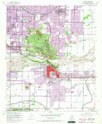
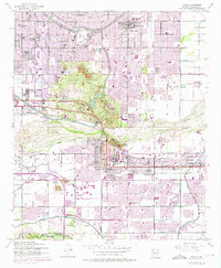
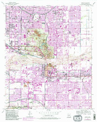
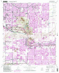
Editions of this 1952 Tempe Map
7 editions found
Other maps of this area

1904 · Camelback
USGS Topo · 1:62,500

1906 · Camelsback
USGS Topo · 1:62,500

1912 · Phoenix
USGS Topo · 1:62,500

1913 · Mesa
USGS Topo · 1:62,500

1914 · Phoenix
USGS Topo · 1:62,500

1915 · Mesa
USGS Topo · 1:62,500

1930 · Cave Creek
USGS Topo · 1:125,000

1939 · Cave Creek
USGS Topo · 1:125,000

1952 · Chandler
USGS Topo · 1:24,000

1952 · Lone Butte
USGS Topo · 1:24,000