
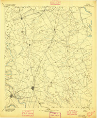
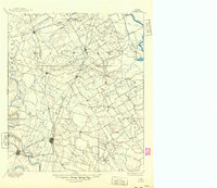
1892 Map of Temple
USGS Topo · Published 1892About this map
Central Texas at the end of the 19th century was defined by a dense lattice of competing rail lines that reshaped the frontier. The Gulf Colorado & Santa Fe Railway and the Missouri Kansas & Texas Railway converge at Temple, illustrating its rapid rise as a transportation hub for Bell County. To the west, Belton remains anchored by the Leon River, while the northern reaches of the map show the branching tributaries of the South Bosque and North Cow Bayou.
Find a feature on this map
76 named features on this map. Tap any name to fly to it.
Don’t see what you’re looking for? This feature index may not catch every label — zoom into the map to look around manually.
Map Details
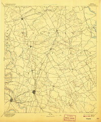
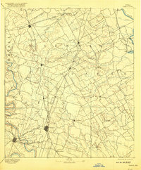
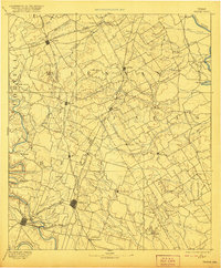
Editions of this 1892 Temple Map
6 editions found
Other maps of this area

1885 · Taylor
USGS Topo · 1:125,000

1887 · Taylor
USGS Topo · 1:125,000

1888 · Meridian
USGS Topo · 1:125,000

1892 · Waco
USGS Topo · 1:125,000

1893 · Georgetown
USGS Topo · 1:125,000

1894 · Meridian
USGS Topo · 1:125,000

1894 · Gatesville
USGS Topo · 1:125,000

1894 · Taylor
USGS Topo · 1:125,000

1920 · Waco
USGS Topo · 1:125,000

1920 · Mart
USGS Topo · 1:62,500