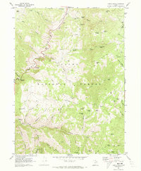
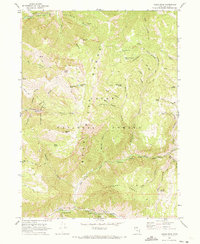
1969 Map of Temple Peak
USGS Topo · Published 1973About this map
Cache National Forest encompasses this high-altitude landscape where the Logan River cuts through steep canyons in northeastern Utah. The topography is defined by its seasonal water sources and landmarks that speak to the area’s recreational and historical significance, such as the Loma Girls Camp and the Lodge Campground. Unique waypoints like Ephraims Grave and Hunsaker Corral provide specific touchpoints for local historians and genealogists tracking land use in the late 1960s.
Find a feature on this map
63 named features on this map. Tap any name to fly to it.
Don’t see what you’re looking for? This feature index may not catch every label — zoom into the map to look around manually.
Map Details
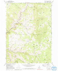
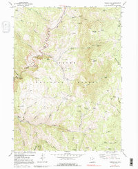
Editions of this 1969 Temple Peak Map
3 editions found
Other maps of this area

1912 · Randolph
USGS Topo · 1:125,000

1914 · Logan
USGS Topo · 1:125,000

1916 · Logan
USGS Topo · 1:125,000

1949 · Boulter Mts
USGS Topo · 1:24,000

1954 · Ogden
USGS Topo · 1:250,000

1958 · Ogden
USGS Topo · 1:250,000

1960 · Ogden
USGS Topo · 1:250,000
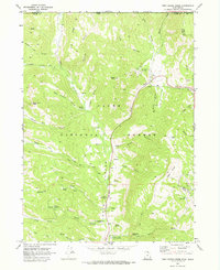
1969 · Tony Grove Creek
USGS Topo · 1:24,000

1969 · Boulder Mtn
USGS Topo · 1:24,000
1969 · Logan Peak
USGS Topo · 1:24,000