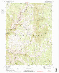
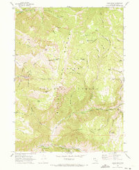
1969 Map of Temple Peak
USGS Topo · Published 1991About this map
Ephraims Grave lies in the southern reaches of this landscape, a poignant landmark within the vast high-country terrain of the Cache National Forest. The Logan River and its Right Fork carve through the limestone, creating deep features like Logan Canyon and the natural subterranean opening at Logan Cave. In the late 1960s, this area served as a significant recreational and waypoint corridor, marked by established sites such as the Lomia Girls Camp and the Lodge Campground near the riverbanks. The topography is defined by its numerous named springs, from the notable Ricks Spring along the canyon road to remote sources like Worm Fence Spring and Tin Cup Spring. These water sources supported a network of livestock movement and early high-country management, evidenced by the Hunsaker Corral and the Gravel Pit near the river corridor.
Find a feature on this map
66 named features on this map. Tap any name to fly to it.
Don’t see what you’re looking for? This feature index may not catch every label — zoom into the map to look around manually.
Map Details
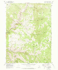
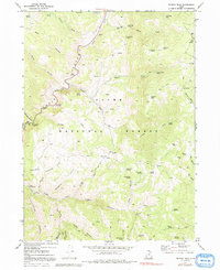
Editions of this 1969 Temple Peak Map
3 editions found
Other maps of this area

1912 · Randolph
USGS Topo · 1:125,000

1914 · Logan
USGS Topo · 1:125,000

1916 · Logan
USGS Topo · 1:125,000

1949 · Boulter Mts
USGS Topo · 1:24,000

1954 · Ogden
USGS Topo · 1:250,000

1958 · Ogden
USGS Topo · 1:250,000

1960 · Ogden
USGS Topo · 1:250,000
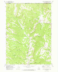
1969 · Tony Grove Creek
USGS Topo · 1:24,000

1969 · Boulder Mtn
USGS Topo · 1:24,000
1969 · Logan Peak
USGS Topo · 1:24,000