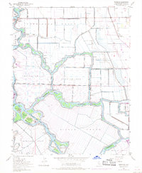
1952 Map of Terminous
USGS Topo · Published 1969About this map
Terminous serves as a focal point in this 1952 topographic study of the California Delta, where the Mokelumne River and San Joaquin River systems converge. The landscape is defined by vast reclaimed lands organized into named tracts, such as the Terminous Tract and Empire Tract, separated by an intricate network of waterways including White Slough and Potato Slough. The presence of an Old Railroad Grade and Railroad Grade running through the northern tracts indicates the importance of rail transport for moving agricultural products from these fertile islands before further modernization. Smaller features like the Venice School and various Pump Houses reflect the local infrastructure required to sustain life and farming on these low-lying lands. The map also traces man-made cuts and reaches, such as Honker Cut and Haypress Reach, which facilitate navigation and water management across the Rindge Tract and King Island.
Find a feature on this map
56 named features on this map. Tap any name to fly to it.
Don’t see what you’re looking for? This feature index may not catch every label — zoom into the map to look around manually.
Map Details
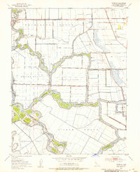
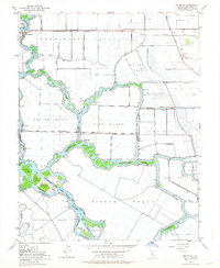
Editions of this 1952 Terminous Map
3 editions found
Other maps of this area

1894 · Lodi
USGS Topo · 1:125,000

1910 · New Hope
USGS Topo · 1:31,680

1910 · Castle
USGS Topo · 1:31,680

1910 · Bouldin
USGS Topo · 1:31,680

1910 · Woodbridge
USGS Topo · 1:31,680

1910 · Headreach
USGS Topo · 1:31,680

1910 · Isleton
USGS Topo · 1:31,680

1913 · Woodward Island
USGS Topo · 1:31,680

1913 · Stockton
USGS Topo · 1:31,680

1913 · Holt
USGS Topo · 1:31,680