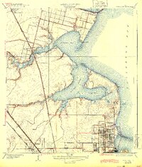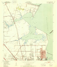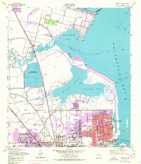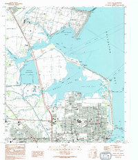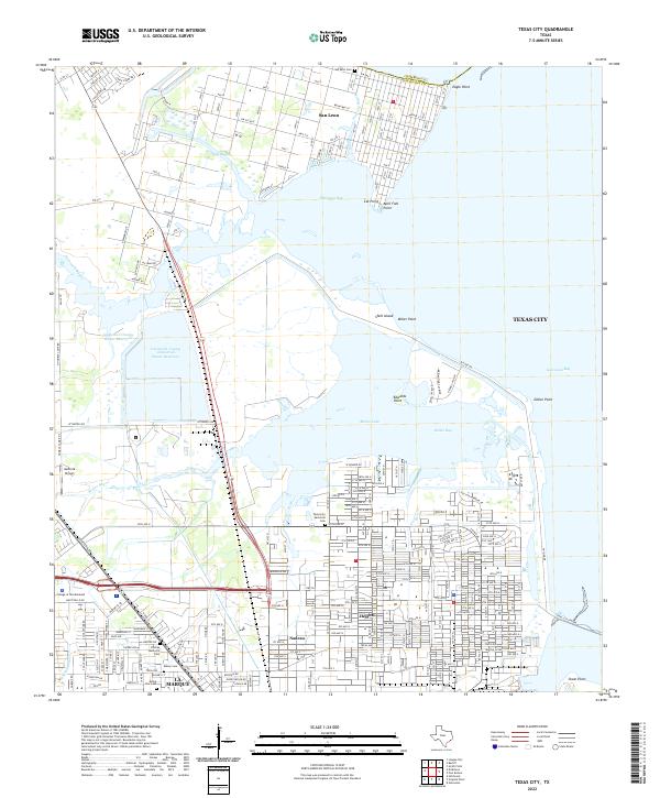
2022 Map of Texas City
USGS Topo · Published 2022About this map
Texas City and the surrounding coastal landscape of Galveston County are defined by a complex network of bayous and industrial infrastructure. The residential districts of Heights and Nadeau sit near the core of the city, while La Marque extends to the southwest. Significant burial grounds including Texas City Memorial Cem, Phillips Memorial Cem, and Rising Star Cem provide essential data for local genealogical research. To the north, the community of San Leon occupies the peninsula near Eagle Point, bordered by the waters of Dickinson Bay and Salt Bayou. The shoreline is punctuated by numerous named landmarks such as April Fool Point and Edwards Point, while inland, the Galveston County Industrial Water Reservoir highlights the scale of local water management. Educational and transportation hubs like the College of the Mainland and Austinia Airport anchor the western portion of this coastal survey.
Find a feature on this map
45 named features on this map. Tap any name to fly to it.
Don’t see what you’re looking for? This feature index may not catch every label — zoom into the map to look around manually.
Map Details
Editions of this 2022 Texas City Map
This is the sole edition of this map. No revisions or reprints were ever made.
Historical Maps of Texas City Through Time
6 maps found