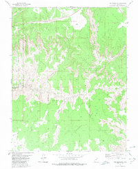
1980 Map of The Barracks
USGS Topo · Published 1980About this map
The White Cliffs dominate this portion of Kane County, creating a dramatic corridor through which the East Fork Virgin River carves its path. This 1980 survey captures the convergence of several major drainages, including Co-op Creek, Waterpocket Creek, and Meadow Creek, all feeding into the main river system. The landscape is defined by its verticality, with named features like Indian Knoll and Elephant Rock marking the high ground above the winding Parunuweap Can.
Find a feature on this map
20 named features on this map. Tap any name to fly to it.
Don’t see what you’re looking for? This feature index may not catch every label — zoom into the map to look around manually.
Map Details
Editions of this 1980 The Barracks Map
2 editions found
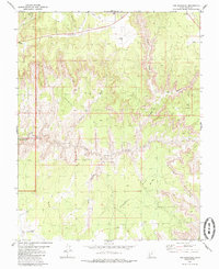
Other maps of this area

1886 · Kanab
USGS Topo · 1:250,000

1953 · Cedar City
USGS Topo · 1:250,000

1954 · Kanab SW
USGS Topo · 1:24,000

1954 · Orderville Canyon SE
USGS Topo · 1:24,000
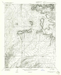
1956 · Springdale SE
USGS Topo · 1:24,000
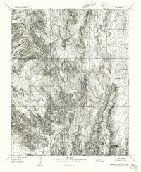
1956 · Springdale SW
USGS Topo · 1:24,000

1956 · Springdale NE
USGS Topo · 1:24,000

1957 · Kanab
USGS Topo · 1:62,500

1958 · Cedar City
USGS Topo · 1:250,000

1958 · Orderville
USGS Topo · 1:62,500