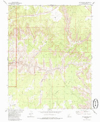
1980 Map of The Barracks
USGS Topo · Published 1985About this map
Zion National Park occupies the western edge of this 1980 survey, where the dramatic White Cliffs dominate the high desert terrain. The landscape is defined by the deep incisions of the East Fork Virgin River, which flows through the section known as The Barracks. This area of southern Utah shows a minimal human footprint, characterized by remote infrastructure such as a solitary Landing Strip and various Jeep Trails that navigate the drainages of Poverty Wash and Mineral Gulch. The map records a complex network of canyons and plateaus, including Poverty Flat and Elephant Cove, illustrating the geological transition between high mesa tops and the river valley. Numerous seasonal watercourses like Clear Creek and Meadow Creek feed into the Virgin River system, while scattered landmarks like Indian Knoll serve as navigation points in the backcountry.
Find a feature on this map
22 named features on this map. Tap any name to fly to it.
Don’t see what you’re looking for? This feature index may not catch every label — zoom into the map to look around manually.
Map Details
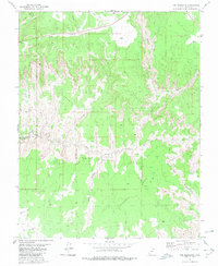
Editions of this 1980 The Barracks Map
2 editions found
Other maps of this area

1886 · Kanab
USGS Topo · 1:250,000

1953 · Cedar City
USGS Topo · 1:250,000

1954 · Kanab SW
USGS Topo · 1:24,000

1954 · Orderville Canyon SE
USGS Topo · 1:24,000
1956 · Springdale SE
USGS Topo · 1:24,000
1956 · Springdale SW
USGS Topo · 1:24,000

1956 · Springdale NE
USGS Topo · 1:24,000

1957 · Kanab
USGS Topo · 1:62,500

1958 · Cedar City
USGS Topo · 1:250,000

1958 · Orderville
USGS Topo · 1:62,500