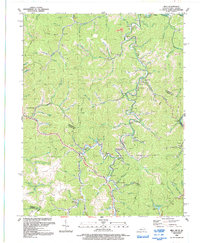
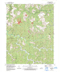
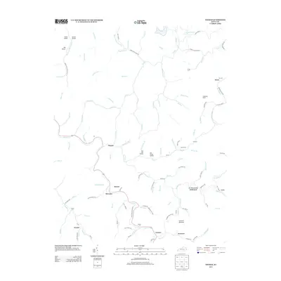
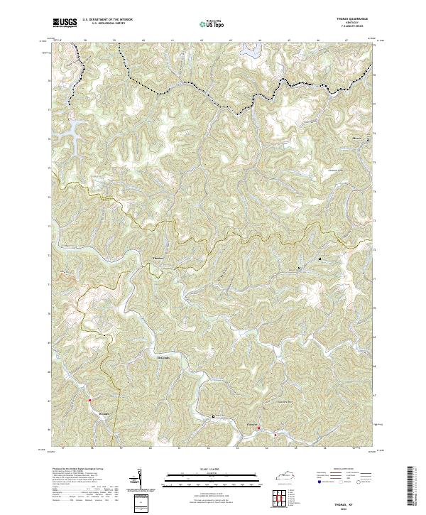
1954 Map of Thomas
USGS Topo · Published 1955About this map
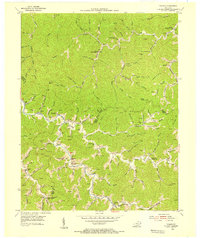
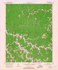
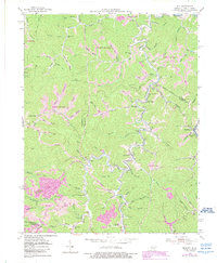
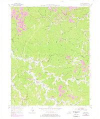
Johns Creek snakes through the heart of this Appalachian landscape, serving as the primary drainage for a dense network of hollows and branches in the mid-1950s. The settlement of Thomas and its Thomas PO anchor the valley, while smaller communities like McCombs, Gulnare, and Jackson are tucked along the tributary waters of Brushy Fork and Sycamore Creek. This era reveals a localized rural infrastructure of education and faith, evidenced by the distribution of the Wolf Creek Sch, Banyan Sch, and the Freewill Ch. The terrain is characterized by steep ridges such as Spring Knob and Chestnut Knob, which separate the various forks of the watershed. Notable industrial activity is indicated by a heavy concentration of gas and oil wells throughout the hills, reflecting the region's mid-century energy production. Much of the lower valley land along the main creek is identified as subject to inundation from the Dewey Reservoir spillway.
Find a feature on this map
80 named features on this map. Tap any name to fly to it.
Don’t see what you’re looking for? This feature index may not catch every label — zoom into the map to look around manually.
Map Details
Editions of this 1954 Thomas Map
3 editions found
Historical Maps of Gulnare Through Time
14 maps found
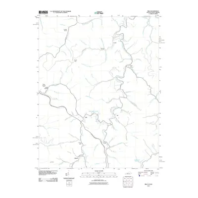
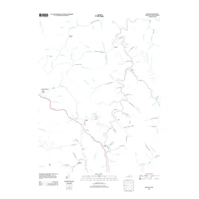
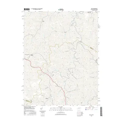
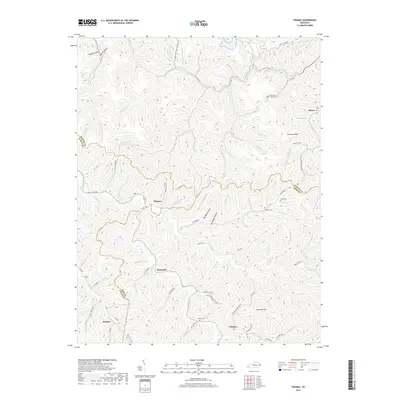
1954 Milo
Martin County, KY
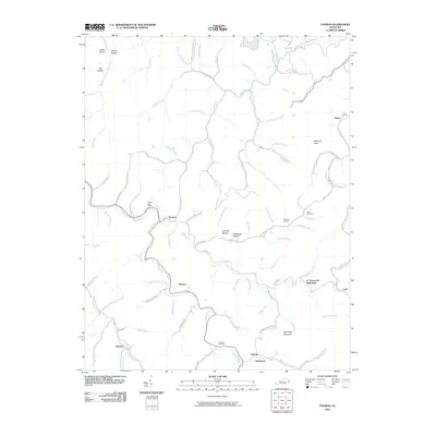
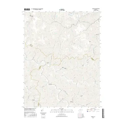
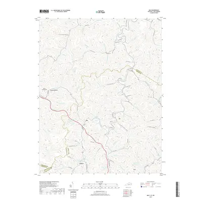
1954 Thomas
Martin County, KY
1992 Milo
Martin County, KY
1992 Thomas
Martin County, KY
2010 Milo
Martin County, KY
2010 Thomas
Martin County, KY
2013 Milo
Martin County, KY
2013 Thomas
Martin County, KY
2016 Milo
Martin County, KY
2016 Thomas
Martin County, KY
2019 Milo
Martin County, KY
2019 Thomas
Martin County, KY

2022 Milo
Martin County, KY
2022 Thomas
Martin County, KY